March 23, 2012


March 9, 2012
Spring Break
In the mean time, I am trying to stay current in the Overlanding community by reading the outstanding magazine - Overland Journal. It is truly a first rate publication and has excellent photography, technical information, and entertaining travel stories.
Hopefully things will turn around this year and I will be able to get the Trailblazer up and running again and maybe start with a mini local trip to the east, I really miss that part of Ontario.
It's been a very long time since my last post. Several unfortunate events have transpired over the past 2-plus years to keep me from any new Overland adventures. The last straw was breaking one of the springs in my custom coilover set up. The only saving grace is that it seems to have happened right outside my garage and luckily not on a trail in the middle of nowhere.

February 4, 2011
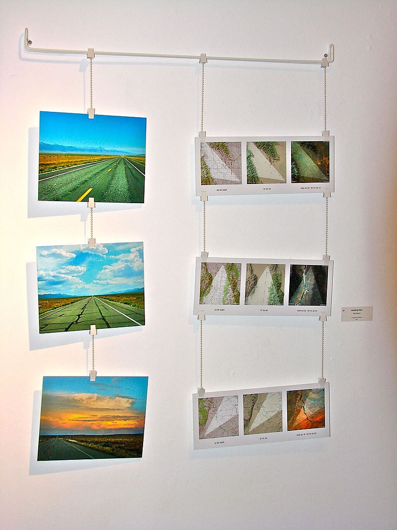
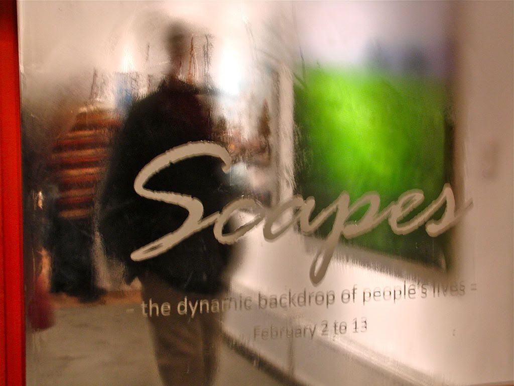
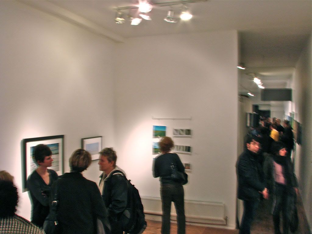
Vanishing Point - 2011 - Reception and Scapes Exhibition
Here's my artist's statement:
- Vanishing Point
Photo-Graphic Installation
75 x 100 cm
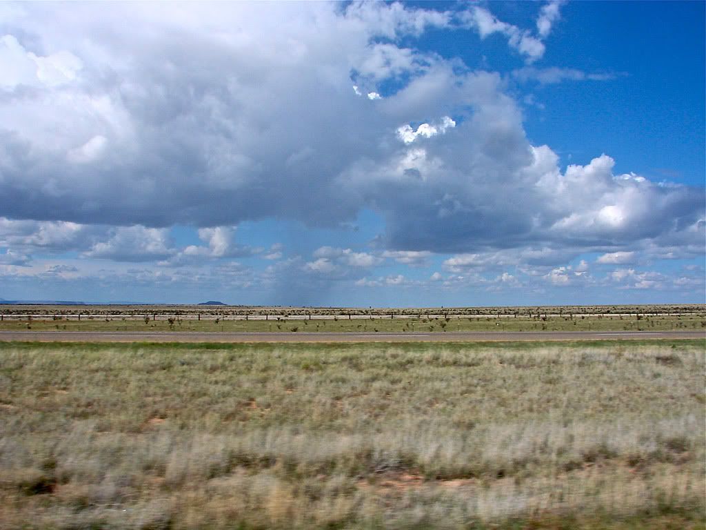
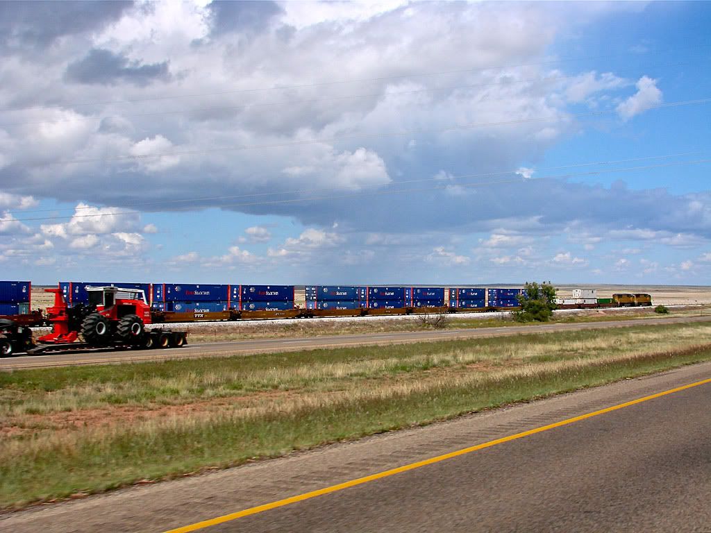
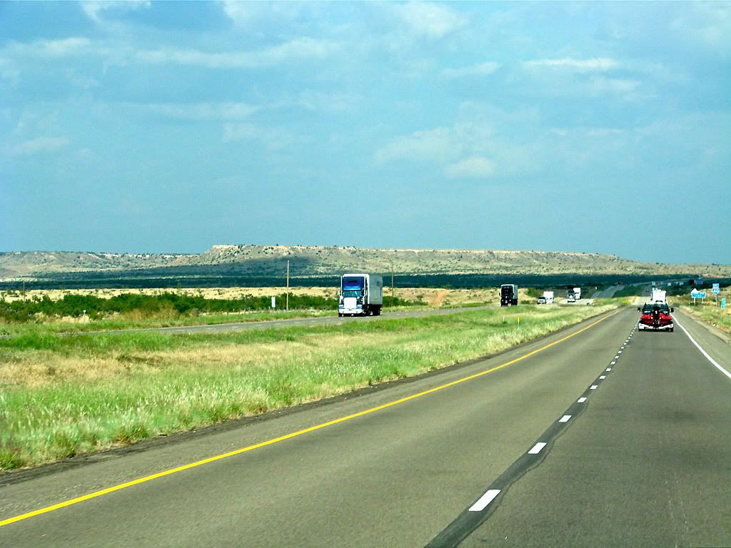
The absurdly straight solitary road that seems imaginable only in the unforgiving country of western America. Linearity extends to the horizon and culminates in a vanishing point.
Three photographs taken while in motion from the driver’s perspective provide for the discovery of anonymous landscapes. Yet, with the advancement of digital photo, GPS, and mapping capabilities, precise locations make themselves available to the technologically curious.
Utilizing continuously gathered data plus the mathematics of focal length and field of view, each photograph’s companion documents the camera’s perception and point of exposure down to the second, both in time and in space, represented through topography, terrain, and imagery.
For those overlanders that are curious, the data sets below the map graphics are:
09 09 2009 15 23 39 N43 54 29 W112 36 13
10 09 2009 17 56 40 N39 50 55 W114 44 12
16 09 2009 21 21 53 N38 42 19 W110 30 25
These are the exact times and locations of the pictures. The highlighted areas are what the camera was viewing at the time.
From top to bottom, the pictures were taken in Idaho, Nevada, and Utah. I will do a more detailed write up on the circumstances and technologies in a different blog.

January 30, 2011
Vanishing Point - 2011
I have worked with the gallery before, particularly for their 2010 Nuit Blanche project so I decided to submit a piece for the exhibition.
My Photo-Graphic Installation called Vanishing Point was selected and will be on display for the exhibition:
February 2 - 13, 2011.

If you're in Toronto, I will be at the reception on Thursday, come by and say HI!
Update: See the piece and photos from the reception here.
December 19, 2010
October 18, 2010
Gotta Taste for Adventure?
This is our entry for the Cheetah Power Surge TV commercial challenge.
Please vote with 5 stars at the Cheetah site. Thanks!
We shot this over 1 day using a Sony HVRA1U HDV camcorder, a great compact solution for Overland HD capture. And a GoPro HD on-board camera for those crazy POV shots. The weather wasn't perfect but we ended up shooting a wide range of Ontario locations, from Hockley Valley, to Osler Bluffs, to Oliphant Beach. Overall an exciting day!

Resolution: 1280 x 720
Video codec: H.264
Audio codec: AAC
Duration: 0:30
Resolution: 852 x 480
Video codec: H.264
Audio codec: AAC
Duration: 0:30


August 11, 2010
O.K. Pepe, lets lose em!
The Internet Movie Cars Database is an incredible community-driven resource that documents all sorts of vehicles used in movies. It can provide the exact make, model, and year of a particular movie vehicle. Users can also use the database to search by movie and type of vehicle, and can add their own comments or additional information.
Movieclips is a slick site started by a couple of movie fans with the goal of making all those classic scenes viewable, searchable, discussable, and yes ... legally sharable over your favorite social media sites. Users can search for clips with various criteria including dialog, can comment on the clips, and ultimately can link out to other sites to actually purchase the film.
So with these two reference sites I proudly introduce the 1982 Ford Bronco XLT making its incredible getaway river jump in Romancing the Stone.
I could see it was a Ford but I didn't know too much about offroad vehicles back then. But now with the help of the vehicle database, I know that it's a Bronco with the top removed in the back which opens up the rear bed, making it look like a pickup truck, when in fact it is not.
And the stunt was no slouch either!
April 19, 2010
Bruce & Grey Counties - Piping Plover Video
- Overlanding is about exploration, rather than conquering obstacles. While the roads and trails we travel might be rough or technically challenging, they are the means to an end, not the goal itself. The goal is to see and learn about our world, whether on a weekend trip 100 miles from home or a 10,000-mile expedition across another continent. The vehicle and equipment can be simple or extravagant - they, too, are simply means to an end. History, wildlife, culture, scenery, self-sufficiency - these are the rewards of overlanding.
One reward during my Bruce & Grey county exploration was being able to capture (on video) a nesting Piping Plover and chick on the beach near Oliphant, Ontario which is on the eastern Lake Huron shoreline.
I later learned that this was actually a very special reward because this specific Piping Plover family was the first nesting occurrence on that beach in over 30 years. The Piping Plover is endangered in the Great Lakes habitat so when the first nests since the mid '70s started appearing at Wasaga, Sauble, and then Oliphant, the Ministry of Natural Resources and local volunteers sprung into action to try to protect the nests as much as possible from predators and human encroachment.
I only wish I had a stronger zoom function on my Sony HDV camcorder as this was the closest I could get to their nest. Once I spotted them with the help of the volunteers that were monitoring the nest, I set up my tripod and started recording. The chick is barely visible for the first two thirds of the clip. It then pops out of the nest and scrambles across the sand.
You can learn more about the Piping Plover from the Wikipedia article, the Royal Ontario Museum's "Species at Risk" pages, and from the Nature Canada blog.
Resolution: 1280 x 720
Video codec: H.264
Audio codec: AAC
Duration: 1:43
Resolution: 852 x 480
Video codec: H.264
Audio codec: AAC
Duration: 1:43
November 16, 2009
Utah Expedition - Days 17 & 18 - Sep 20, 21
Map References - Day 17 - Sep 20
* large files - 1800 x 1200
There will definitely be some upgrades in my near future, particularly if I want to go for another extended adventure next year. I see drawers; I see a different, smaller footprint fast deployment tent; I see better tie down techniques for items on the Safari Rack; I see more planning needed!
Well, until next time!
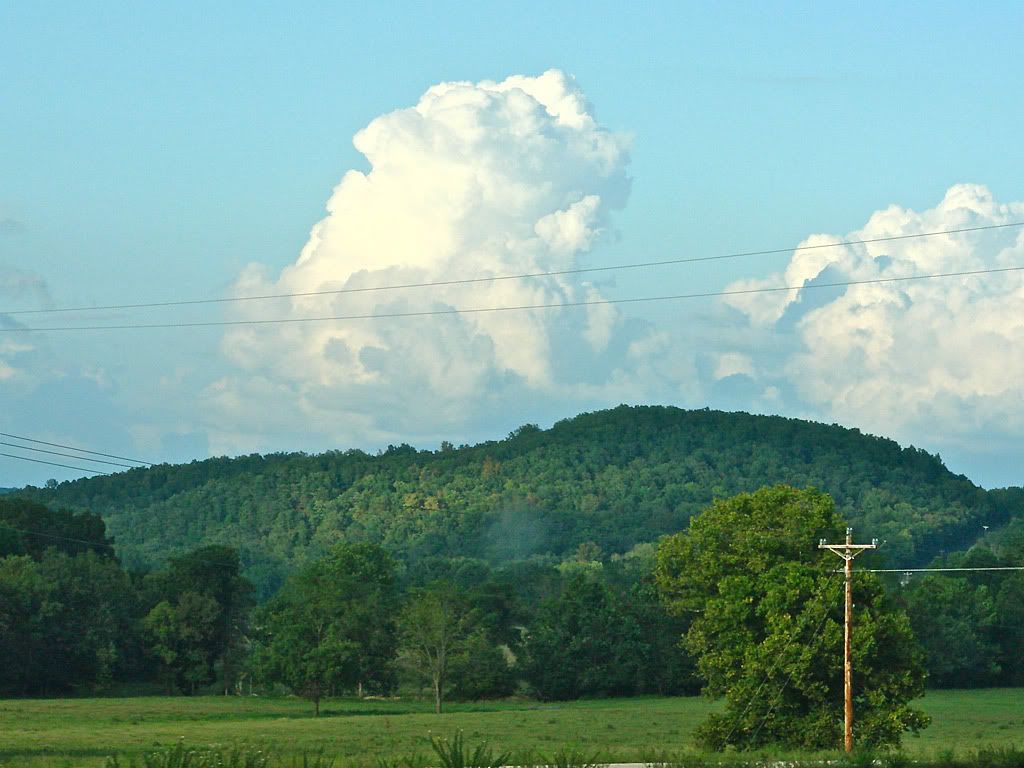
I didn't take many photos, except of other Trailblazer/Envoy vehicles that passed me (see first post). Here are a few curiosities from the road, they are self explanatory.


Map References - Day 18 - Sep 21
* large files - 1800 x 1200
Utah Expedition - Day 16 - Sep 19
Map References - Day 16 - Sep 19
* large files - 1800 x 1200


November 14, 2009
Utah Expedition - Day 15 - Sep 18 - Part 2
Map References - Day 15 - Sep 18
Comb Ridge & Valley of the Gods:
* large files - 1800 x 1200
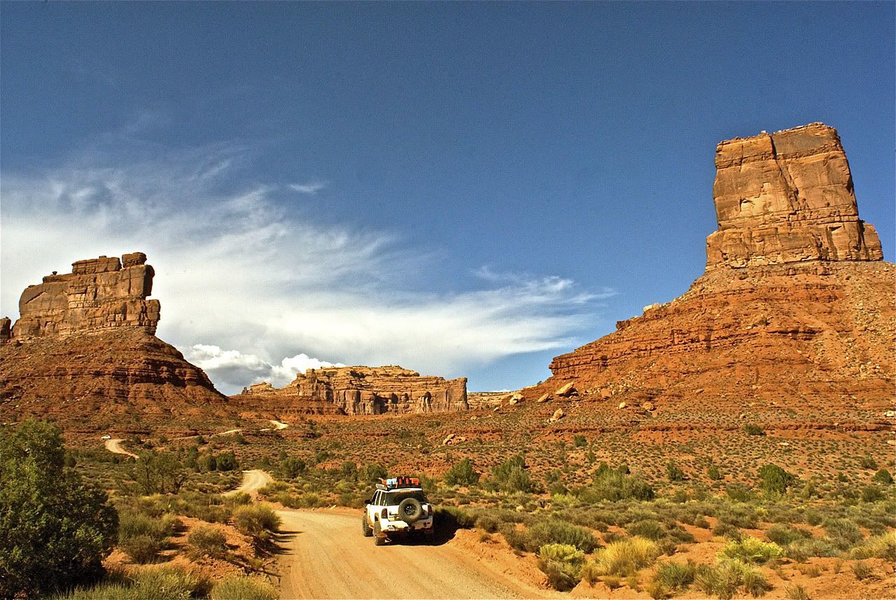


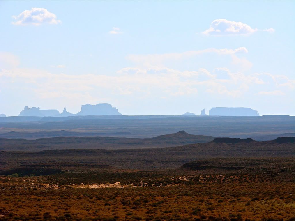
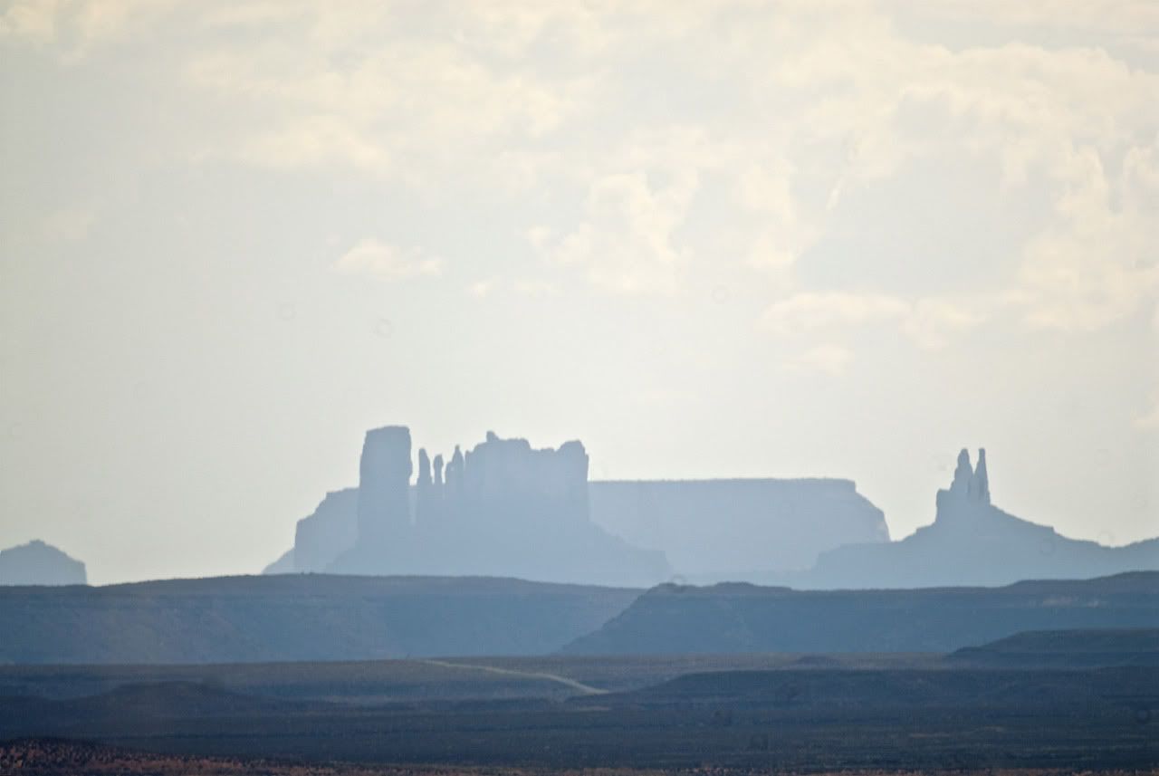
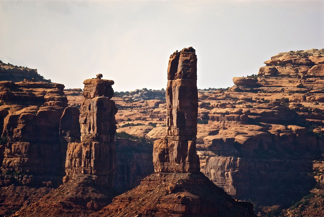
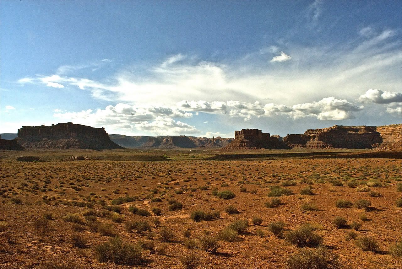
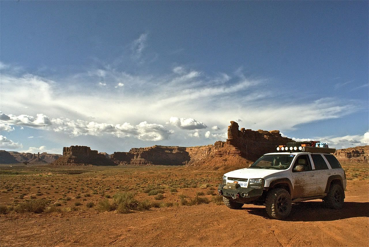
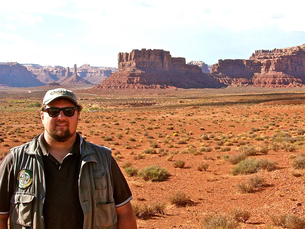
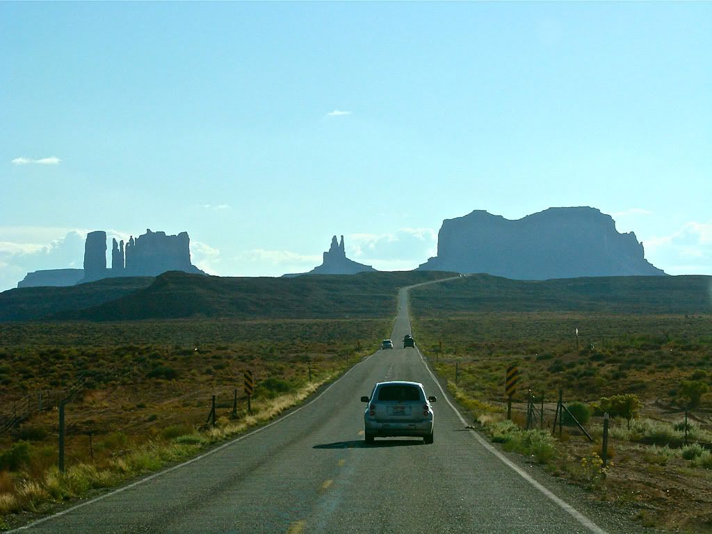
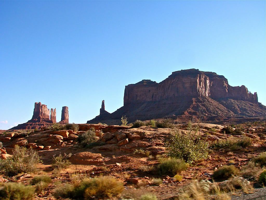
Well nothing directly except that through some side research and linking, I came across a still from the movie that shows the vehicle Clint Eastwood's character was driving in the area, which led me to this site:
http://imcdb.org/
The Internet Cars Movie Database. So if anyone wants to know for example:
- What SUV was Clint Eastwood driving in The Eiger Sanction?
- What offroad-equipped car was Pierce Brosnan driving in The Thomas Crown Affair?
- What did that crazy river jump in Romancing the Stone?
- What snorkel-equipped truck crossed that deep water in Dante's Peak?
Its all in the database. Sometimes the Internet still amazes me!
OK, back to the trip. As the sun was setting I was driving east through Arizona and then onto New Mexico.

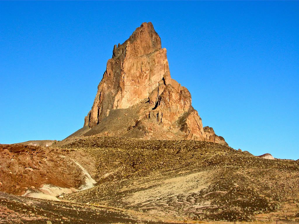
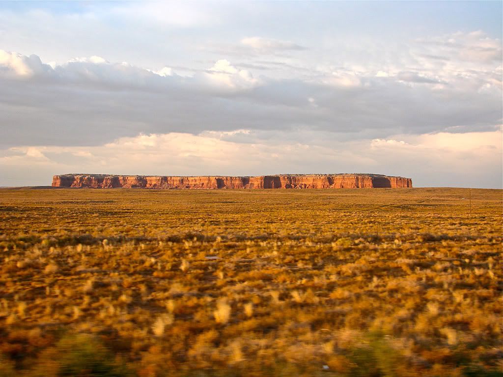
Utah Expedition - Day 15 - Sep 18 - Part 1
So early that morning I got out the Massey/Wilson Utah book and worked out a route that would start close to Blanding and make its way south and then east. To maximize my time the trails needed to not be return trails (i.e. ones with a dead end).
Comb Ridge was close by so I started at the north end of Comb Wash Trail (Southeast #46, page 202 of the book), it's rated difficulty 2 and scenic 9. Comb Ridge is a monocline which is a type of ground upheaval.


- To the 1880 Mormon Hole-in-the-Rock Expedition, Comb Ridge appeared an impassable barrier as they descended from Cedar Mesa. They were forced to swing south and eventually succeeded in crossing Comb Ridge at San Juan Hill near where the San Juan River cuts through the ridge.
The trail follows parallel to the ridge on the west side and crosses through Comb Wash several times. Recent rains left many of the crossing wet and muddy although with good momentum, I did not have any issues.
Almost at the end of Comb Wash Trail, there is a turn-off for Snow Flat Road (Southeast #45, page 199 of the book). Snow Flat Road is described as a little more difficult rating a 3 due to a section of exposed rock with climbs and drops called "The Twist". After making a right turn, the road starts heading back north but fairly quickly heads east.

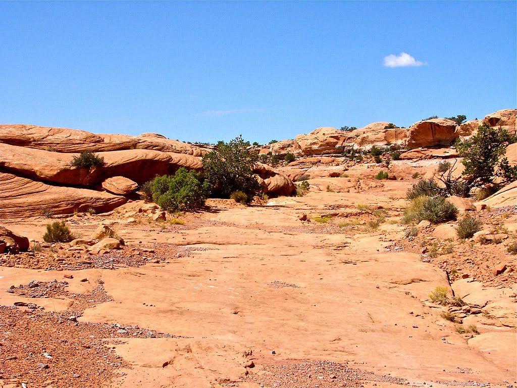
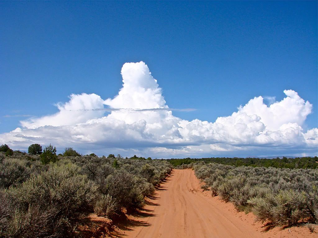
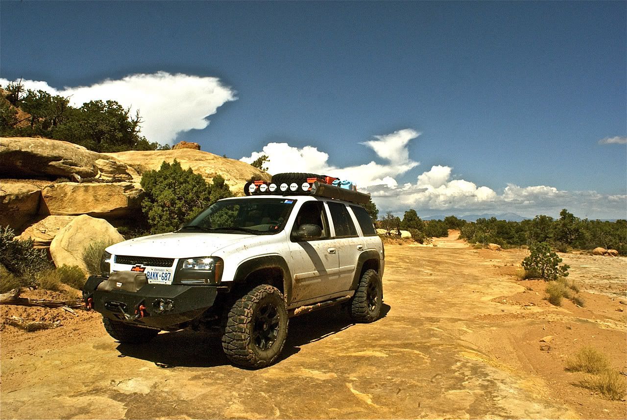
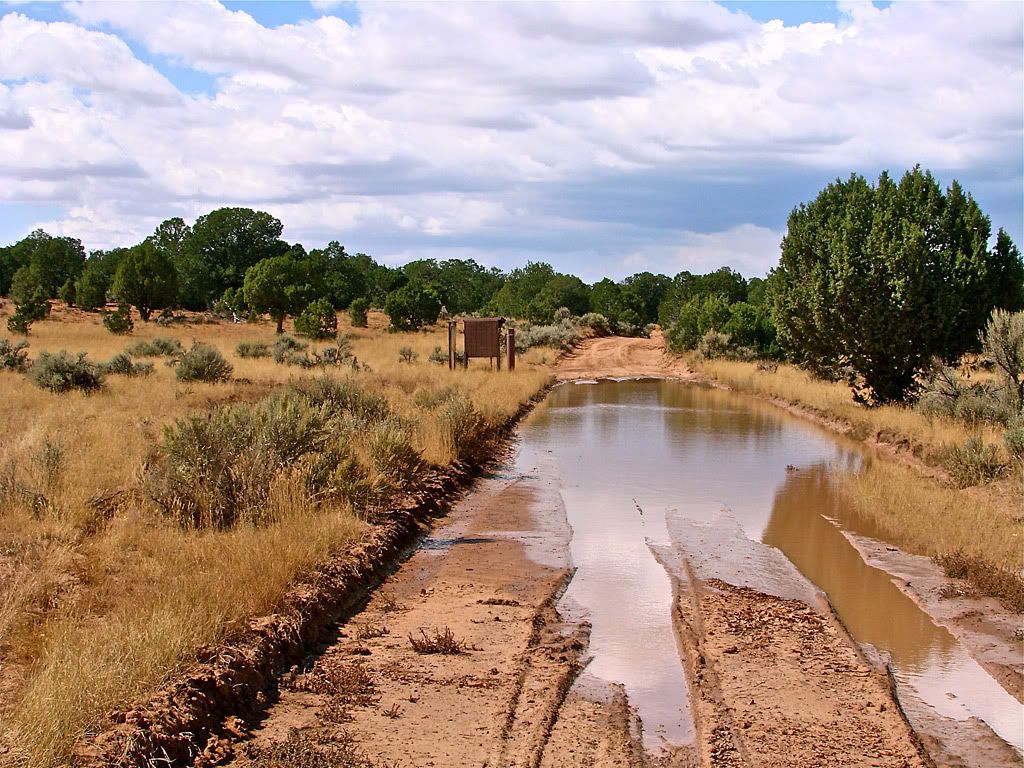
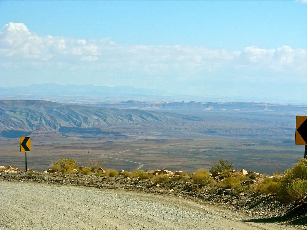
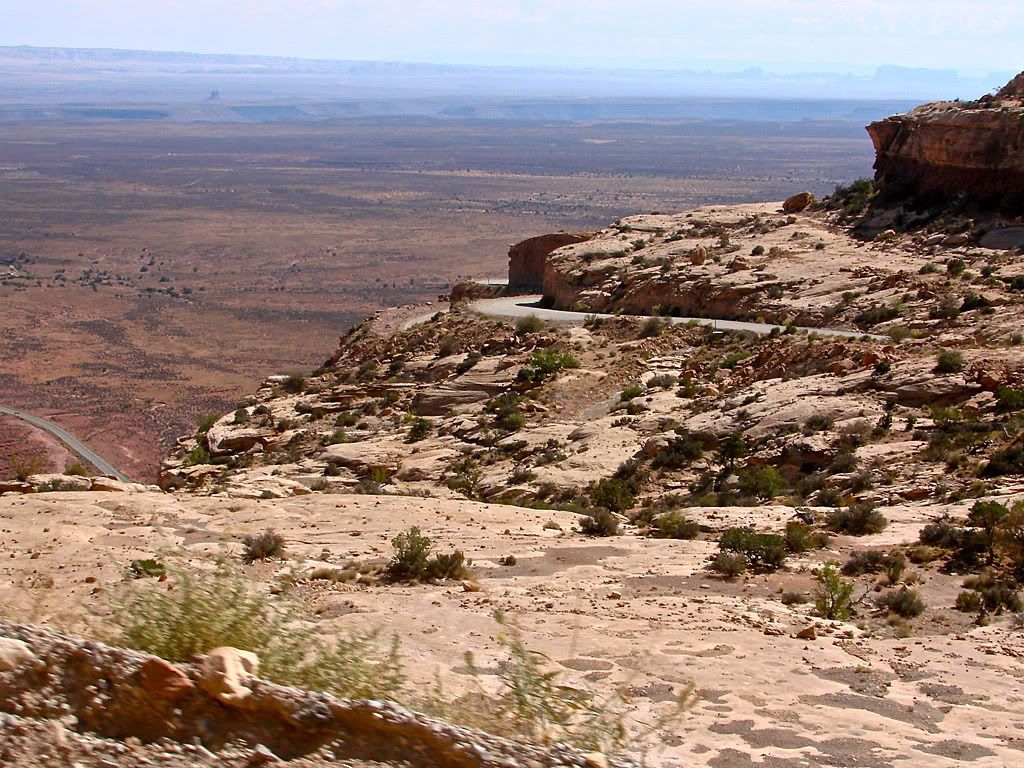
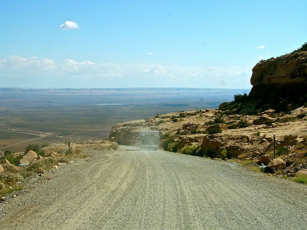
As I headed south on State Route 261, I basically ran out of plateau. The highway turns into a wide graded gravel road and descends the cliffs, known as the Moki Dugway. I tried to snap a few photos heading down but could not stop as these switchbacks are trafficked quite a bit since the road has been made wide enough for 2 way traffic including campers and RVs.

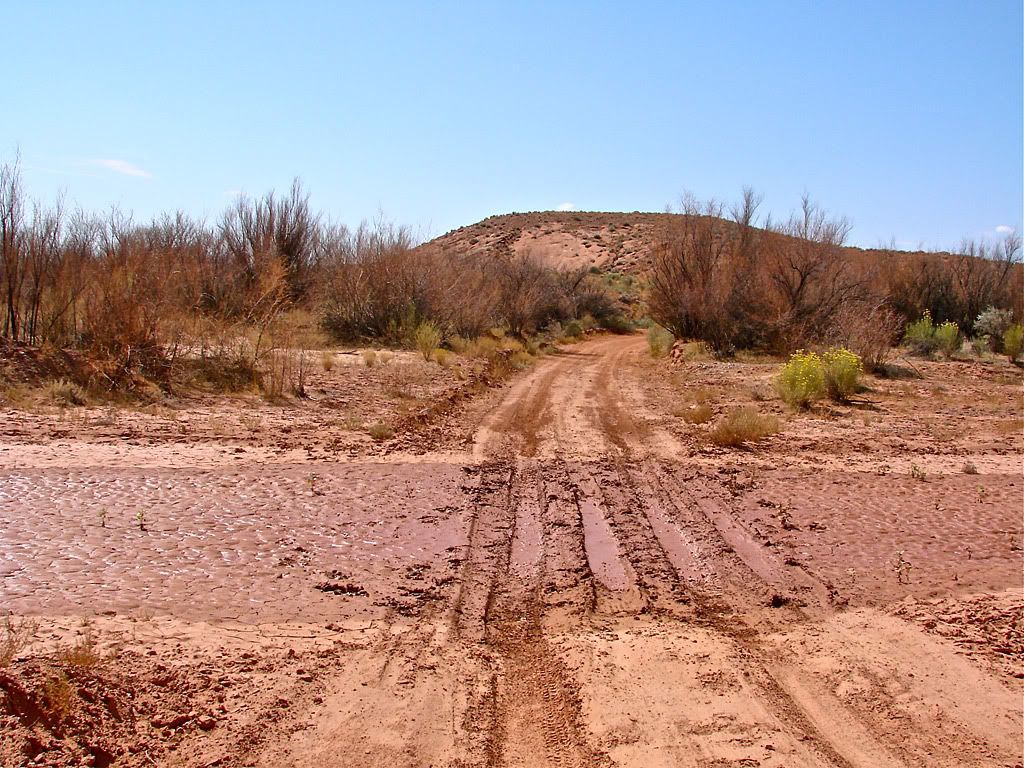

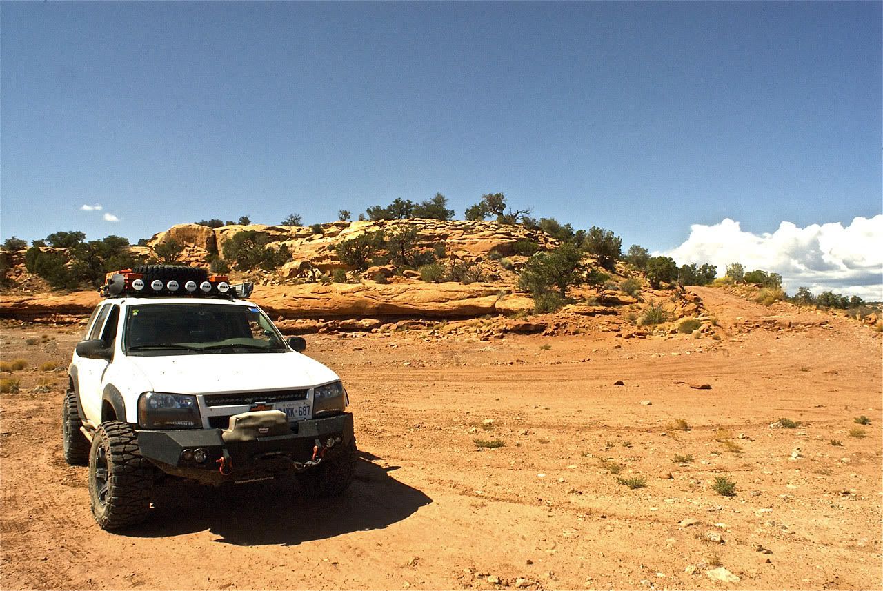
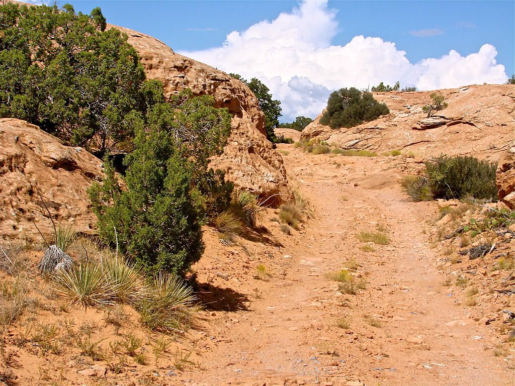
After clearing "The Twist" you end up on a plateau called Cedar Mesa. I should note that this whole area is rich in Native American ruins, Petroglyphs, and Pictographs but unfortunately I could not explore on this day as I still had one more area I wanted to get to plus the drive starting back home.




 Posts
Posts

