X88 expeditions - Documenting and sharing overland travels, adventures, and expeditions

June 20, 2008

Western Trent-Severn - Big Chute 2

I took the opportunity of cooler and much less humid weather last weekend to re-visit the Big Chute area with a goal in mind to tackle the trail I abandoned the week before but from the north instead.

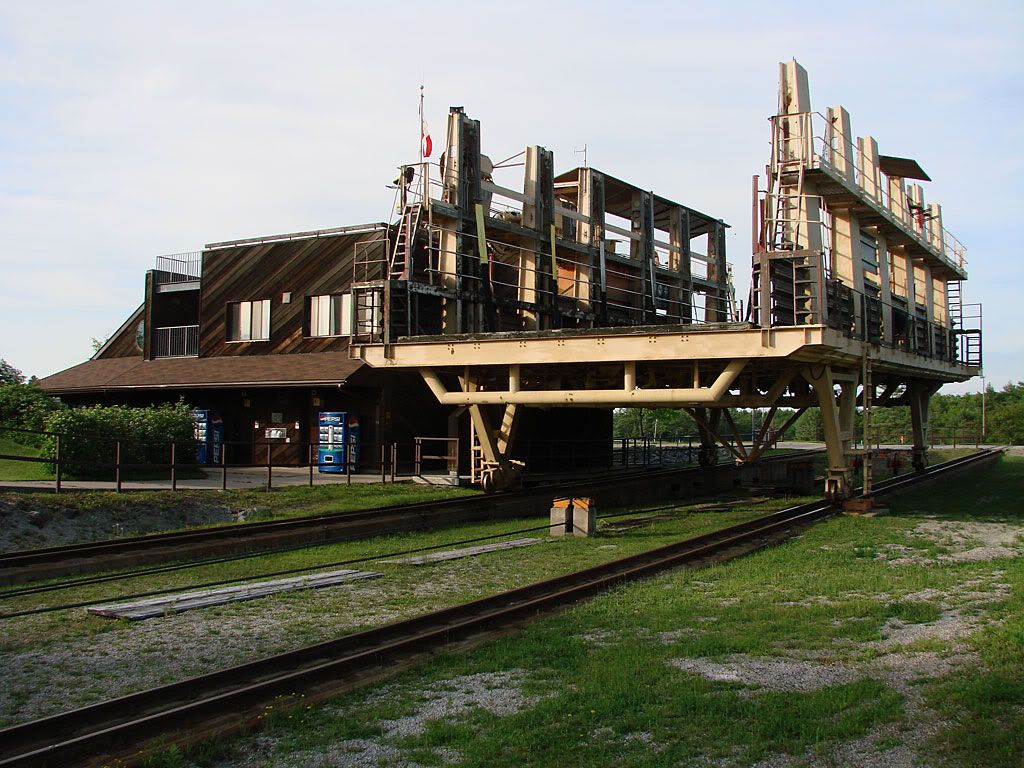
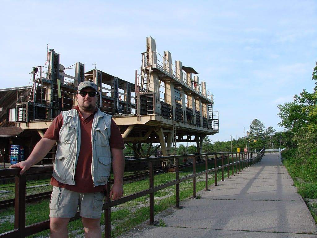
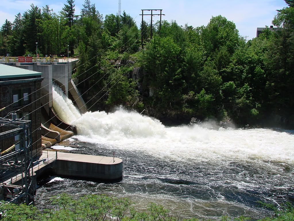
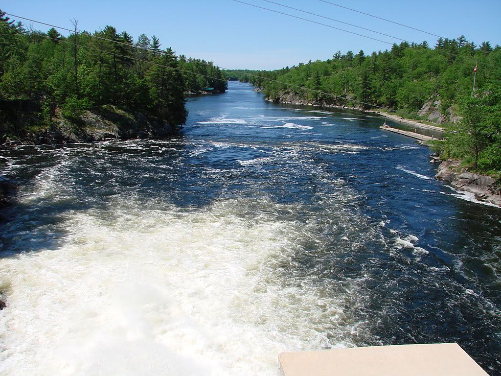
I made it up there much earlier in the day so I had the opportunity of getting some visuals of the marine railway with some boats on it. These are stills from some video I shot (testing out my brand new HDV Sony camcorder). I will try to edit something together in the near future.

The weather was excellent, but unfortunately for the 2 or 3 days prior, there was heavy rainfall. So again, when I started on the trail, I quickly got into some heavy-duty mud and decided to turn back.

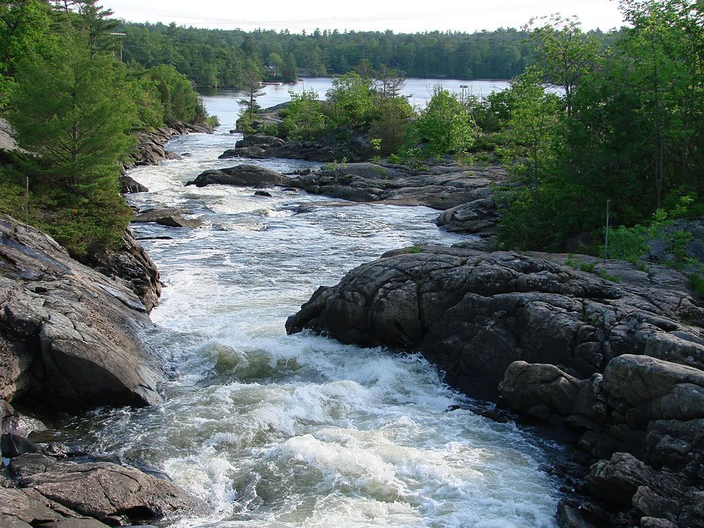
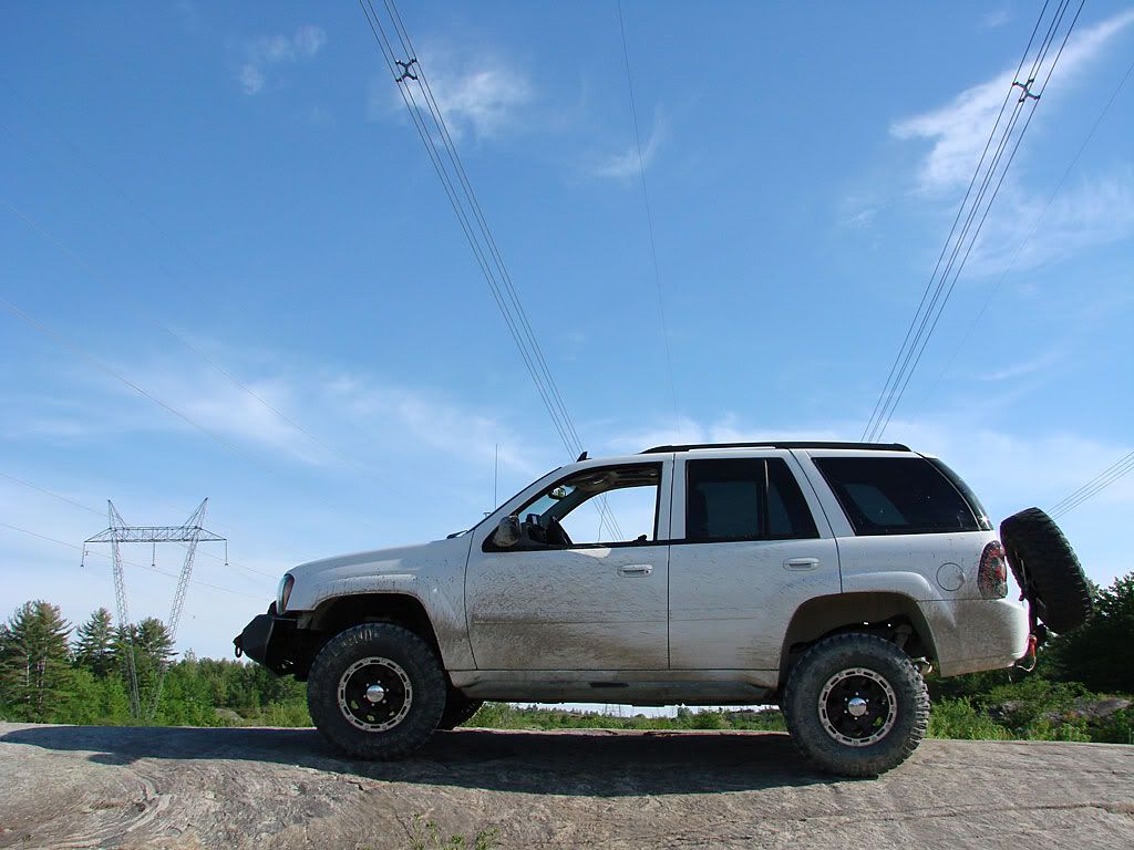
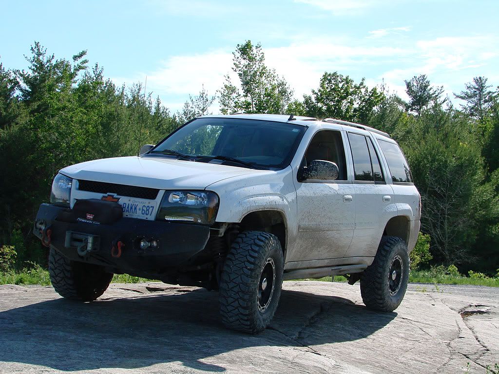
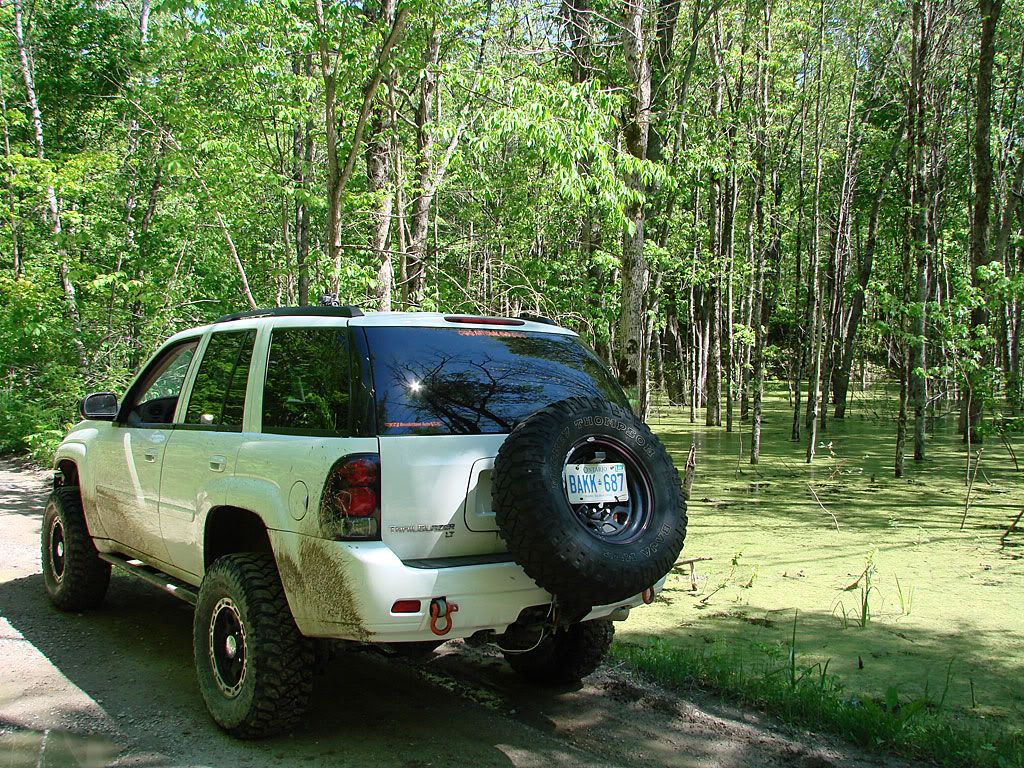
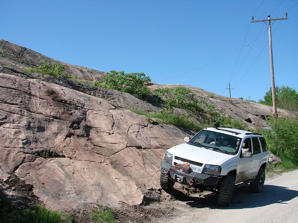
I had plenty of daylight left so I decided to at least go check out the potential trail north of Big Chute. When I saw this, I was thinking: "great! something more than just gravel roads"

But when I walked up there to survey the situation (something you should always do on unknown trails), the whole outing went kaput.

The rock climb seemed very doable but just after it, some huge mud holes. I actually sank almost up to my knee in one by accident. And then the mosquitoes hit, I was SWARMED.

Images from Wikipedia - authors: Alvesgaspar and the Agricultural Research Service

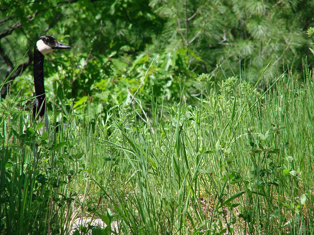
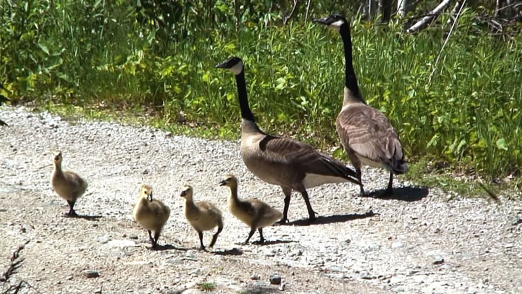
They even stung me on the Black Fly welts I had from the weekend before. I haven't been to that part of Ontario at this time of year for quite a while and I forgot how bad it gets.

So thats it for Trent-Severn West End for the time being. I will be back though in late summer or early fall when its drier and the nasties are gone.

June 10, 2008

Western Trent-Severn - Big Chute

I had never been to Big Chute in all my years of driving around Ontario. The interest there is that its not a lock per se, its what is called a "marine railway". Again, Parks Canada:

"Big Chute Marine Railway is a short drive from Coldwater. It is the only marine railway of its kind in North America. Big Chute has large grounds for picnicking and boater camping."

The concept here is that you navigate your boat up to one of the ends of the railway, wait for the structure to submerge into the water, navigate INTO the structure, the structure then LIFTS your boat out of the water on some straps, either climbs or descends the hill, goes OVER the road, and puts your boat back into the water. Wild stuff!

This is what it looks like up close - the spillway, the railway, the structure, me in the picture for scale.

The trailfinding to get there was less than successful. I planned out a route that would follow some power lines and end up just a few meters away from the railway but it was not to be on that day. It started OK with some shots just off the road on some "slickrock":
Thats my "ode to Moab", however, there isn't enough continuous exposed rock for any kind of decent trail, just outcroppings here and there. Shortly after this point is where the problem came up.

In doing my research, I got conflicting information. Google maps, on the hi-def satellite shot, clearly shows a trail continuing north along the power lines, meandering around lakes and bogs. My topographic maps however show the trail broken at a lake just about half way. My thoughts were that the satellite shot would be more recent and more accurate.

But when I got to a turn-off point I saw a sign that said "snowmobiles only". Usually this means that the trail will be crossing water somewhere and that its only passable in winter (frozen). So being late in the day I turned around.

What I'm going to do is go back there an upcoming weekend and try the trail going south from Big Chute to see if its broken. I did some more research and will be trying to find a second trail that is north of Big Chute and makes its way south.

Western Trent-Severn - Swift Rapids

I knew of Swift Rapids Road for a while and even tried to drive it early last winter. Being somewhat of a remote trail, I ended up turning back as I was not comfortable in the snow that had piled up at the time.

Here is what Parks Canada has to say about Swift Rapids:

"Lock 43 is isolated with a sense of wilderness and therefore not practical to drive to by road. This is the deepest single chambered lock on the Waterway. An impressive ground surrounded by lush natural vegetation makes a quiet stop for boater camping and picnicking for the self-contained boater. It is a pack-in pack-out station."

However, we know that "not practical to drive by road" doesn't apply to Trailvoys, right? In actuality, even a stock 2 wheel drive would have no problem on the gravel road. However, due to what I would think is very rare grading of the road, everyone is in for a very bumpy ride.

The weather was great, the first real hot days of the season, and the large birds were sure out there. Some Trumpeter Swans and of course some Canada Geese:

At the end of the trail, there is a gate with no vehicles allowed past. A short 5 minute walk brings you to the river. You can see the dam, looking down river from the dam, the lock doors, and then the lock full and empty.
The trail (Swift Rapids Road) is fairly flat but interesting in its own way. When the water is high, there are some still water crossings but no higher than 18 inches. A couple of places the trail crosses flat rock but nothing serious. And there are plenty of lakes and bogs along the way.
If you look carefully on the rocks, you will see tire tracks from some hard-core wheelers trying to climb that rock. This one would be too extreme, but I did take note of 2 or 3 other places where the trail diverts from the road in order to present more of a challenge. If I were not solo that day I would have tried a couple. Nothing worse than being stuck in the middle of nowhere with a broken u-joint.

Off to Big Chute!

June 9, 2008

Western Trent-Severn - Intro

Having been inspired in 2007 by the concept and attitude of what is referred to as Expedition Travel, I set out on my Toronto - Colorado - Toronto expedition last September.

With great references such as The Expedition Portal and The Overland Journal I have evaluated my expedition as a personal success, one that I wish to experience again this September.

But in the mean time, I have started a project to build a database of local (i.e. Ontario, Canada) trails with not just "wheeling" in mind, but trails that provide the traveler with historical, architectural, or natural significance. If you have ever read any trail write ups in the Peter Massey books, then you know what I am talking about.

My first sojourn of the season was to a couple of specific points on the Trent-Severn waterway. If I can quote the Parks Canada web site:

"Year after year, the Trent-Severn Waterway, meandering 386 km along central Ontario, continues to create unique experiences. After each spring thaw, the Waterway's historic locks and canals open, linking a passageway so magnificent it has been named "one of the finest interconnected systems of navigation in the world". Those who visit, reminisce long after leaving. They can't help but remember the impressive locks and lofty legends that make up one of Canada's most spectacular waterways."

The waterway connects the eastern shore of Georgian Bay (Lake Huron) with the north-eastern shore of Lake Ontario, and consists of lakes, rivers, canals, and locks (45 in all) with some being over 160 years old and still in regular operation. Here is an overview map:

Click on the map for a closer view.

The two locks I was interested in due to the proximity of some potential 4x4 trails are in the western portion of the waterway - Swift Rapids (#43) and Big Chute (#44).

June 6, 2008

Going For The 4•5•6 - Front Housing

Picked up the front diff housing today at the auto wrecker. Looks in good condition, had plenty of oil inside, and the gears turned nice.
These were taken in the back of the Trailblazer. No wonder the H3s were blowing them up, this thing looks tiny. Wish I could have taken a picture of it next to the rear axle to give you some perspective.

This also re-inforces why going to higher gears is not feasible. 4.56:1 is the highest ratio available for this differential and there are only 2 sources for that: stock GM ring/pinion for the H3 (expensive) and the Yukon Gear set listed in the previous post.