Its a circular route that traverses the Poe and Penn valleys, you can see the Google map below.
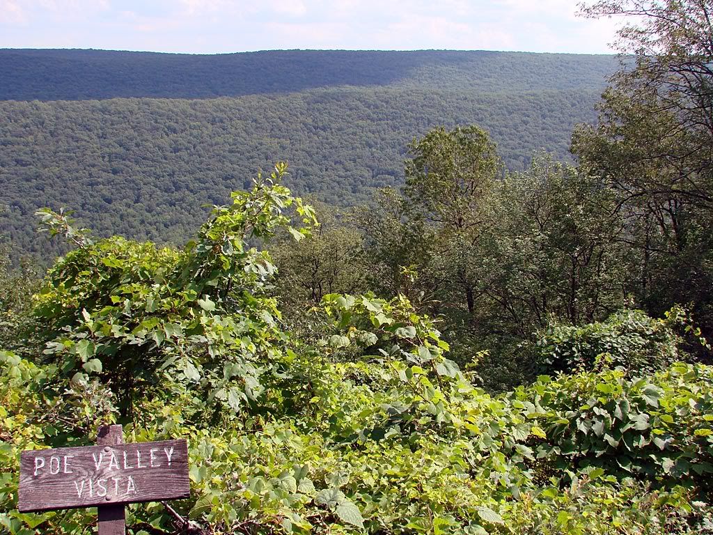
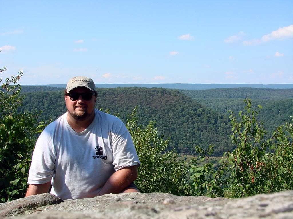
I started in Spring Mills and followed the route to the Vonada Gap. Shortly after the road turns into graded gravel as it heads up to Big Poe Mountain at 2000 feet. These two pictures are after you crest the ridge and head down the other side.

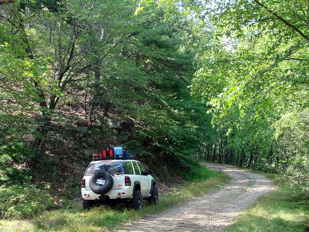
The trail up is basically a fairly wide shelf road that is not maintained so it is a but bumpy and rocky, but nothing serious for a modified vehicle. I did pass a mini-van s l o w l y driving down the other way which was prudent because some of the rocks could easily damage street tires. You can see steep drop-offs through the trees from the shelf road but it definitely is not the same as driving above the tree line in Colorado.
Once on the ridge, there are various spots with great overlooks, nice back-country camp sites, and a couple of side trails designated as forest roads. I think this area is part of a state forest so I believe camping is allowed. I wish I had more time to explore those trails though.


No comments:
Post a Comment