X88 expeditions - Documenting and sharing overland travels, adventures, and expeditions

October 25, 2009

Utah Expedition - Day 10 - Sep 13

Map References - Day 10 - Sep 13

View Sep 13 track in larger window.
The temperatures were still into the 100s so even though Red Rock Canyon is very close to the city and there is usually quite a few tourists there, I made sure I had plenty of liquids with me and lots of sun protection.

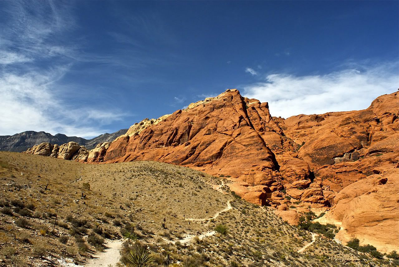
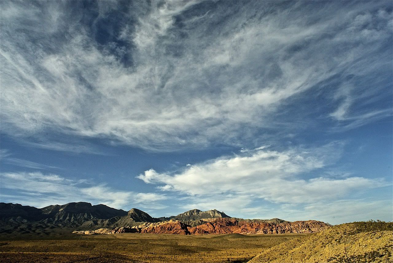
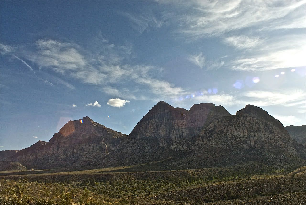
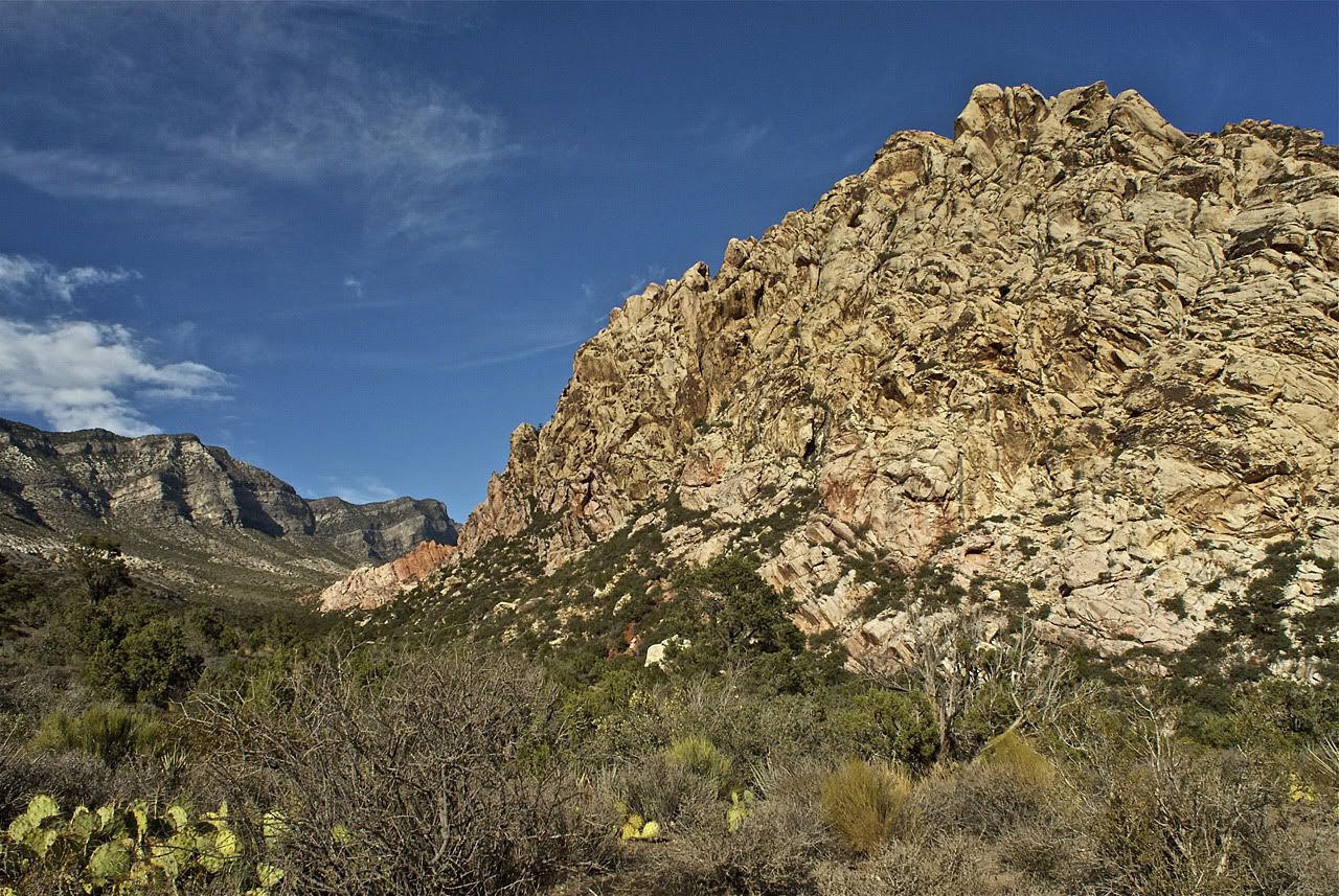
With clear skies above, the colors in the canyon were incredible. Reds, oranges, yellows,
greens, browns ...

Red Rock Canyon seems to have something for everyone, even offroaders although ATVs are not allowed (along with driving off marked roads). The Scenic Drive loop road is paved but very nice as it takes you up close to the rocks, then higher in elevation to overlook the entire area, then back down into the flat parts. There are many parking areas that allow for great pictures as well as hiking into the rocks. The trails have varying levels of difficulty and length, plus there is rock climbing allowed in certain areas for those so inclined.

About half way through is a turn off to Rocky Gap Road. It starts as a graded gravel road that leads to some nice shady picnic areas. Past that it is marked as a high clearance 4x4 road. I followed a Pink Jeep Tours vehicle up into the mountains and at a turn, he let me pass as they were going slowly to allow for pictures I guess. I asked the driver/tour guide wether the trail was a dead end. He indicated that their tour turns around soon but that the trail itself continues on, but deteriorates. He also said that if I used my GPS I could probably follow it all the way to Pahrump on the California border.

Later that evening I took a look at Google and my GPS Topo maps. Even though the trail is not marked on Google, using the satellite images you can see that it does make its way to Lovell Canyon Road, which leads to Lovell Summit road, which ends up in Pahrump. That would have been an interesting drive through Toiyabe National Forest but unfortunately, not on this trip.

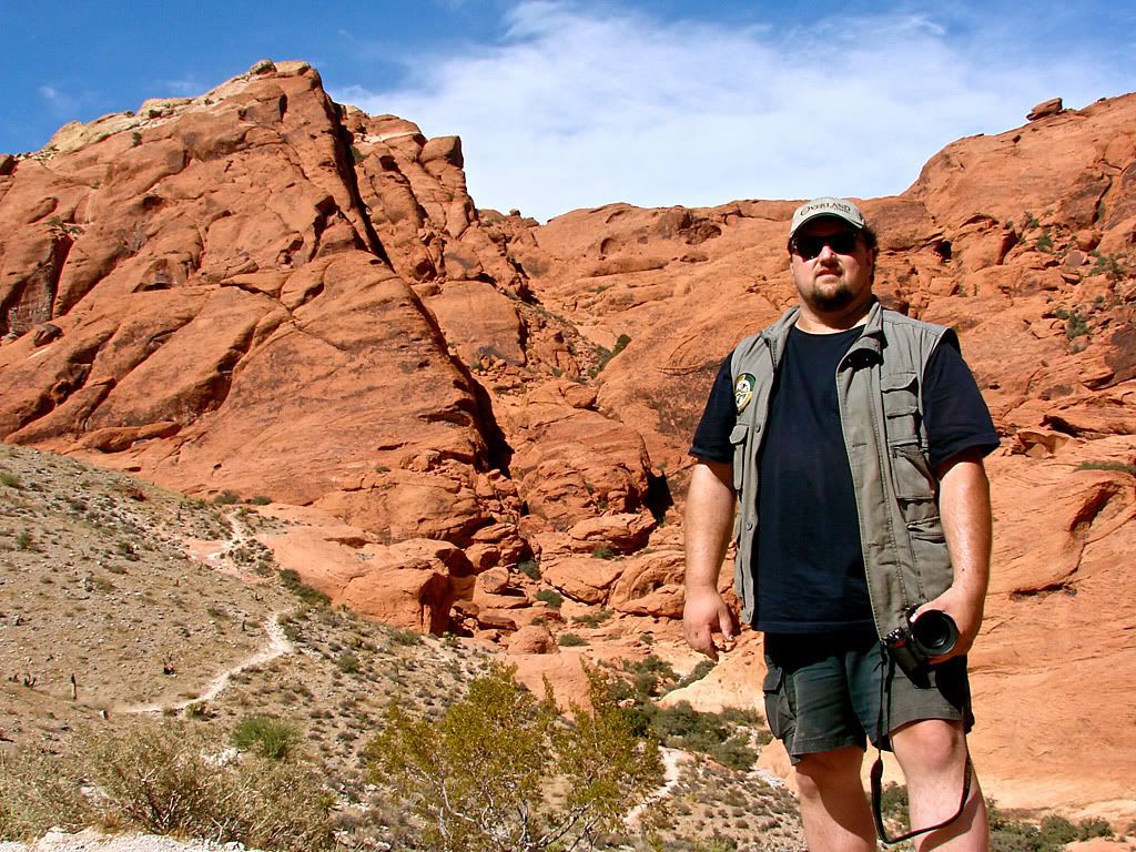
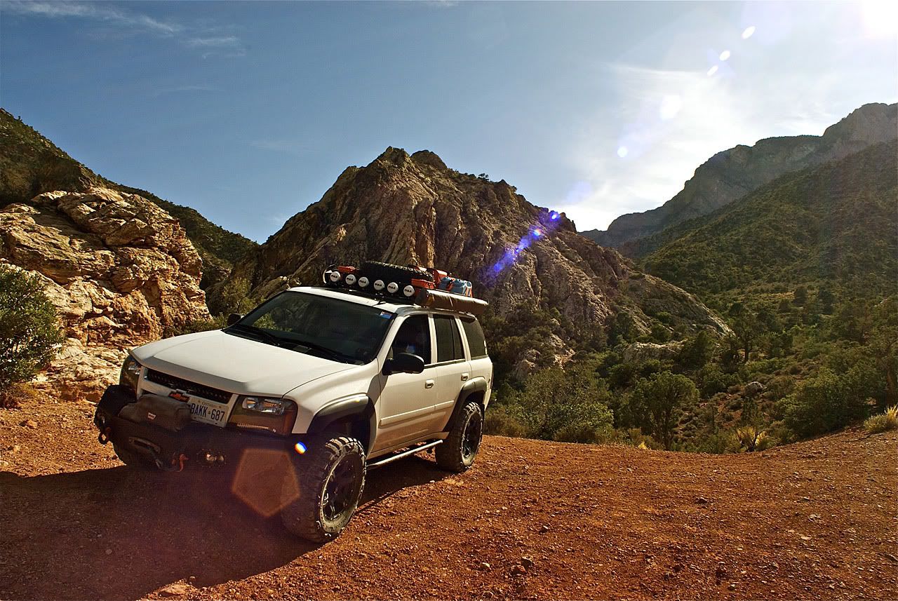
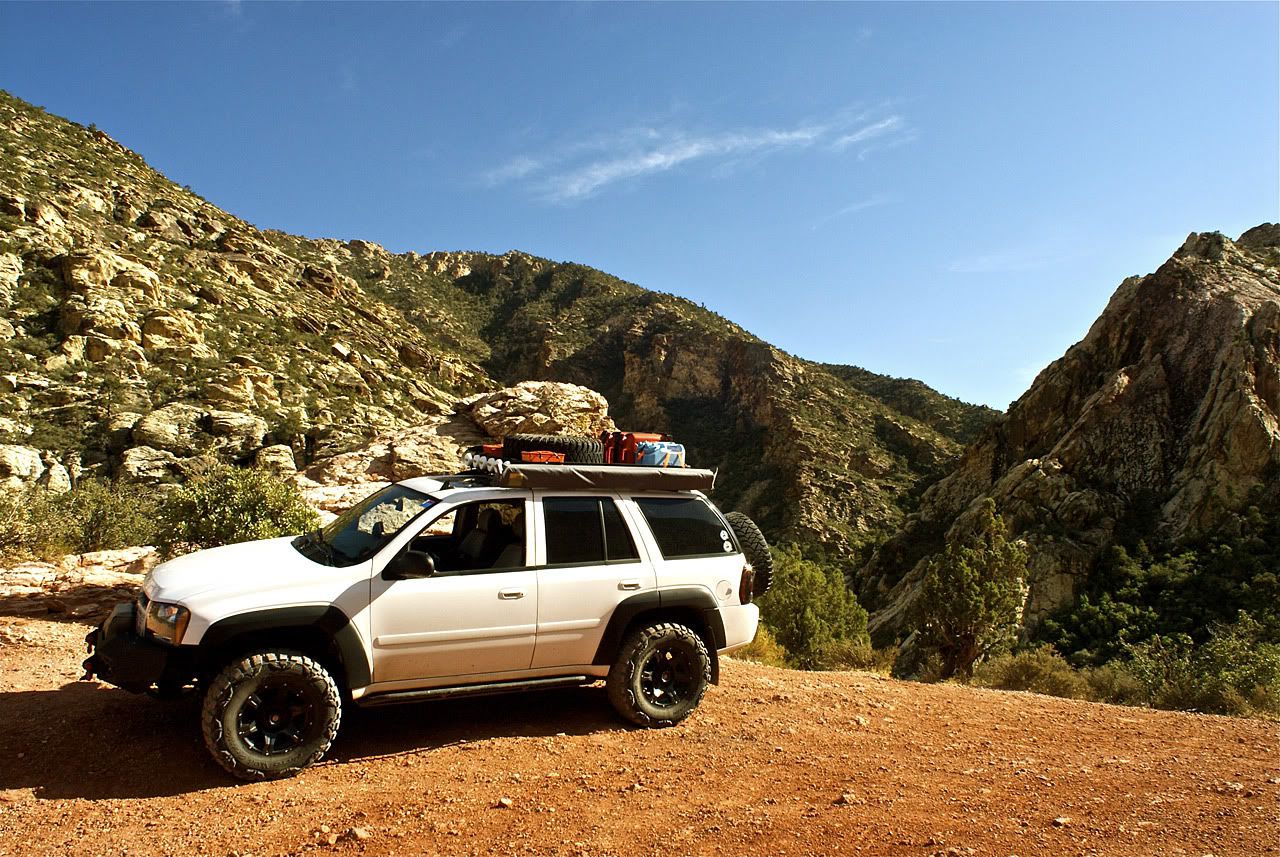
After reaching where the trail becomes quite rocky, I decided to turn around and take some pictures at what looked like a nice back country camping area.

I then headed back into Vegas, north-east through Arizona, and into southern Utah, all the while hoping that the weather would hold up as the next day was going to be a big one, something that I had been looking forward to for many years.
As I drove along the back half of the Scenic Road, I tried to get some pictures of the western mountains (Bridge Mt, Mt. Wilson) as the sun was starting to set behind them. And finally at the exit to Red Rock Canyon, there is another great overlook.
OK, so I blew it in regards to overland adventure around Vegas. I would have really liked to have gone to Death Valley and seen The Racetrack with the moving rocks, or the Valley of Fire, or Mount Charleston.

So this day I decided to at least go visit Red Rock Canyon which is just outside of Las Vegas.

No comments: