There used to be a magazine called "Truckin's SUV" which is since defunct. I started reading it as I was planning to get my original (blue) Trailblazer. I guess that is the genesis of my "expedition/exploration" bug as they tried to include an offroad adventure in every issue. The December 2001 issue had a write up of what is called "Little Switzerland" in East-Central Idaho.
It intrigued me at the time because it helped me realize that it wasn't only Colorado that had the Rocky Mountains, they must of course pass through other states as they make their way north to Canada. Plus the magazine had pictures of river crossings, remote 2-track trails, everything that was exotic to me at the time.
Luckily I kept the magazine stored away and when this trip was taking shape, I dug it out and decided to work Idaho into my itinerary during my northern route going west.
During my research I decided to do a bit of online searching to see if there was a guide for the area similar to the great Peter Massey books I used for my Colorado trip 2 years ago. Luckily there is a guide by a local brother & sister, the Howard's, that is on par with the Massey books ... Backcountry Roads - Idaho. Leland Howard is a professional photography so the imagery in their book is spectacular. The guiding and GPS info is not as detailed as in the Massey books but still more than acceptable.
I ordered this book and picked it up at my mailbox in Niagara Falls on day 1 of this trip. Reading through it makes me want to come back to the very scenic and very interesting state of Idaho!
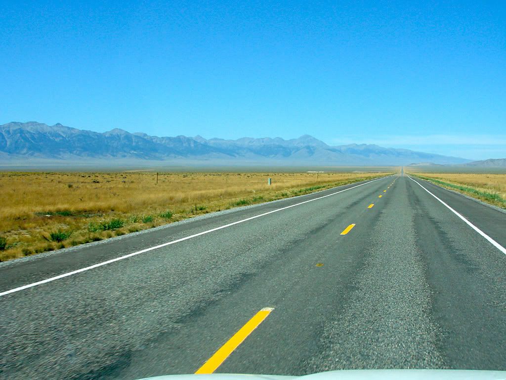
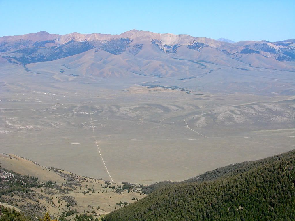
Heading north out of Idaho Falls, I first crossed a wide basin that is situated in front of the Rocky Mountains. This basin along with how the mountain ranges I was heading to are situated prompts the writers to say this:
"Gas stations are distant from the expedition starting points. There is no cellphone coverage."
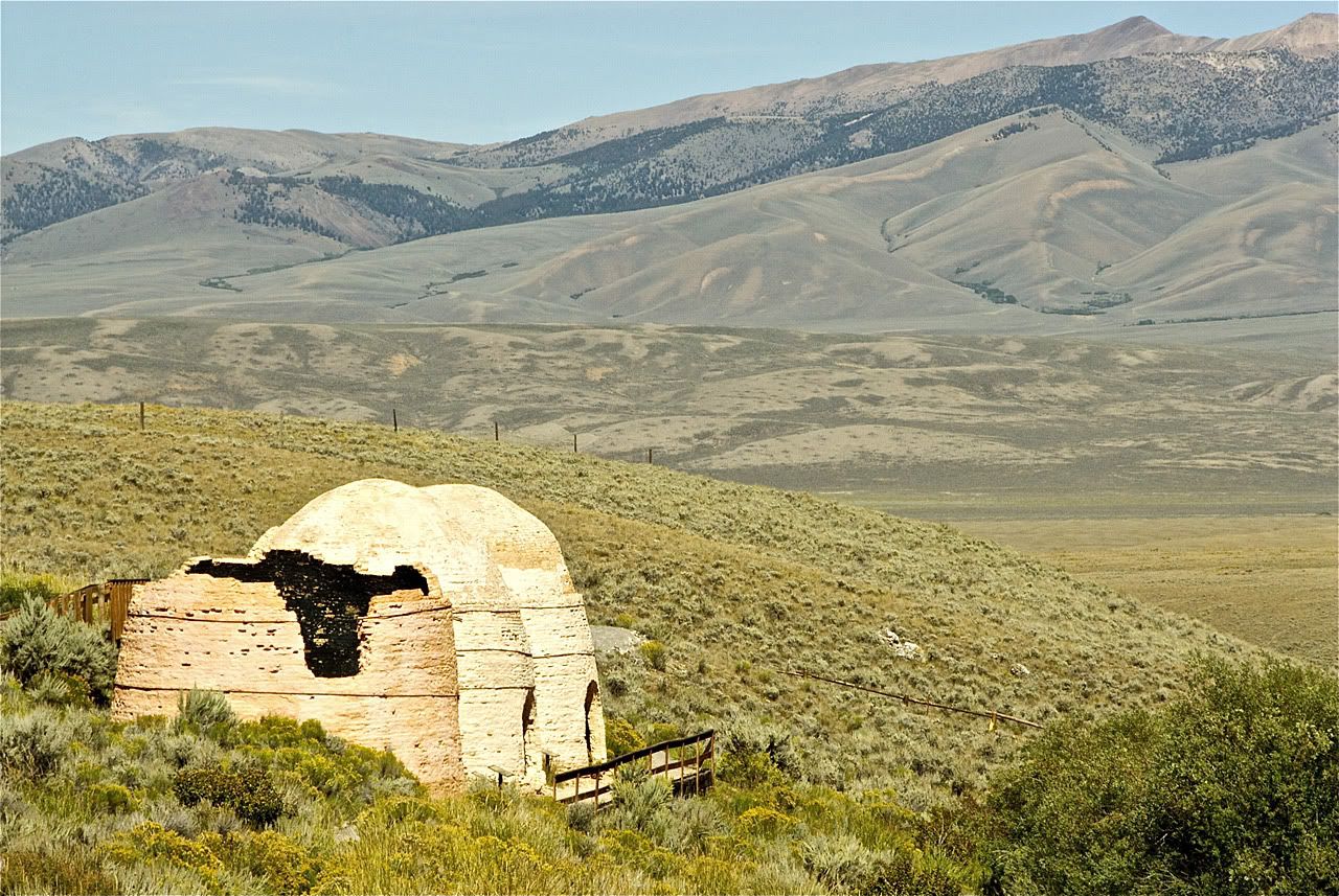
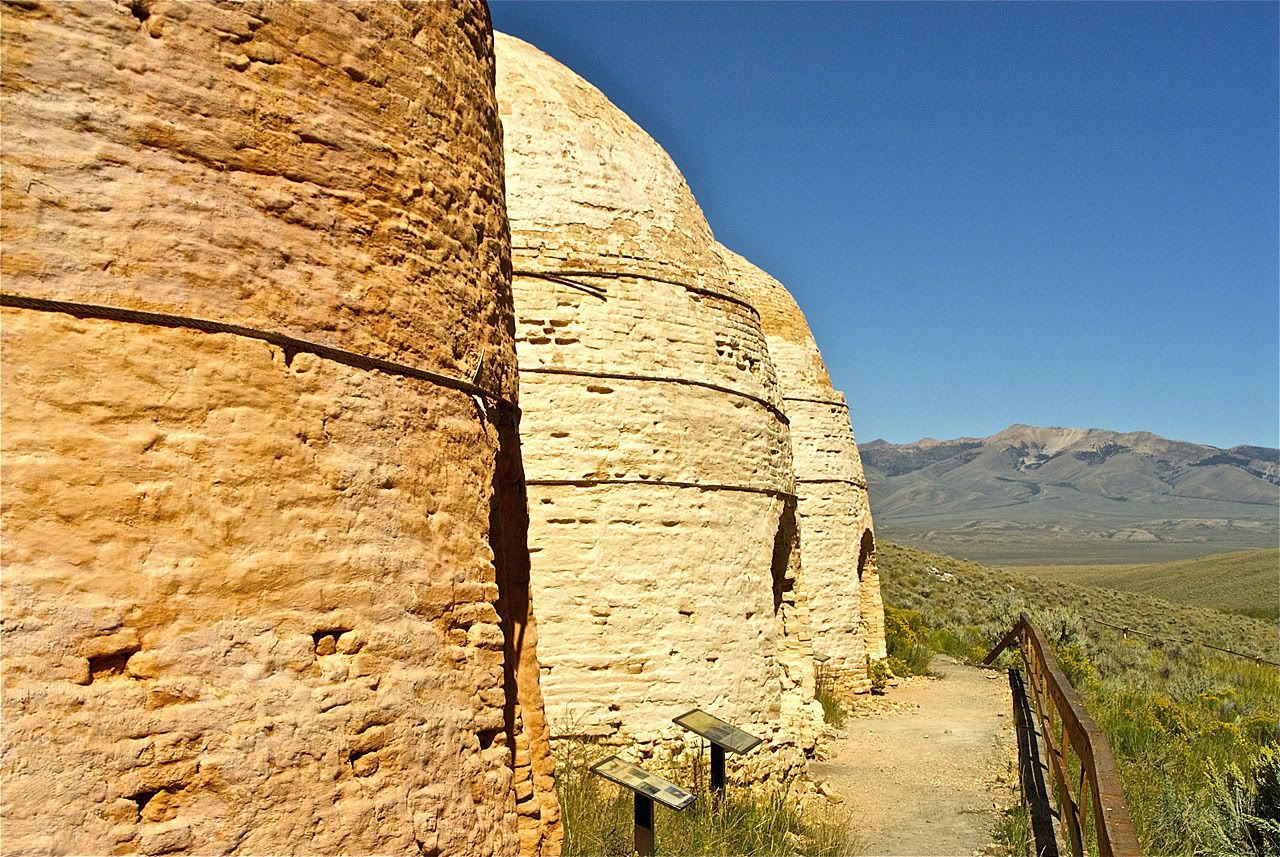
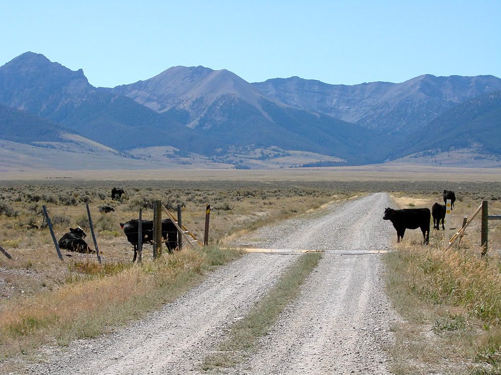
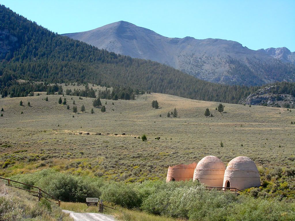
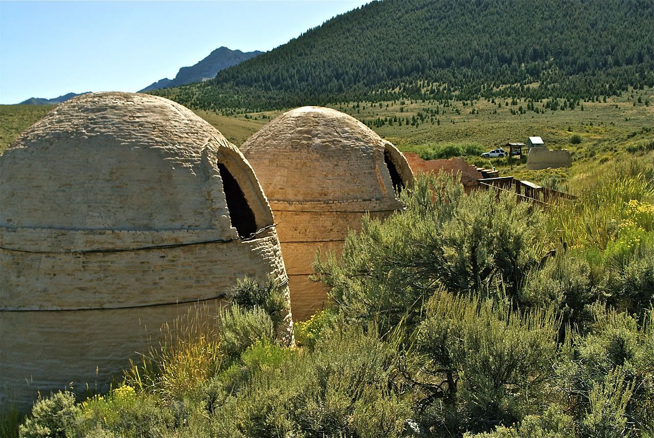
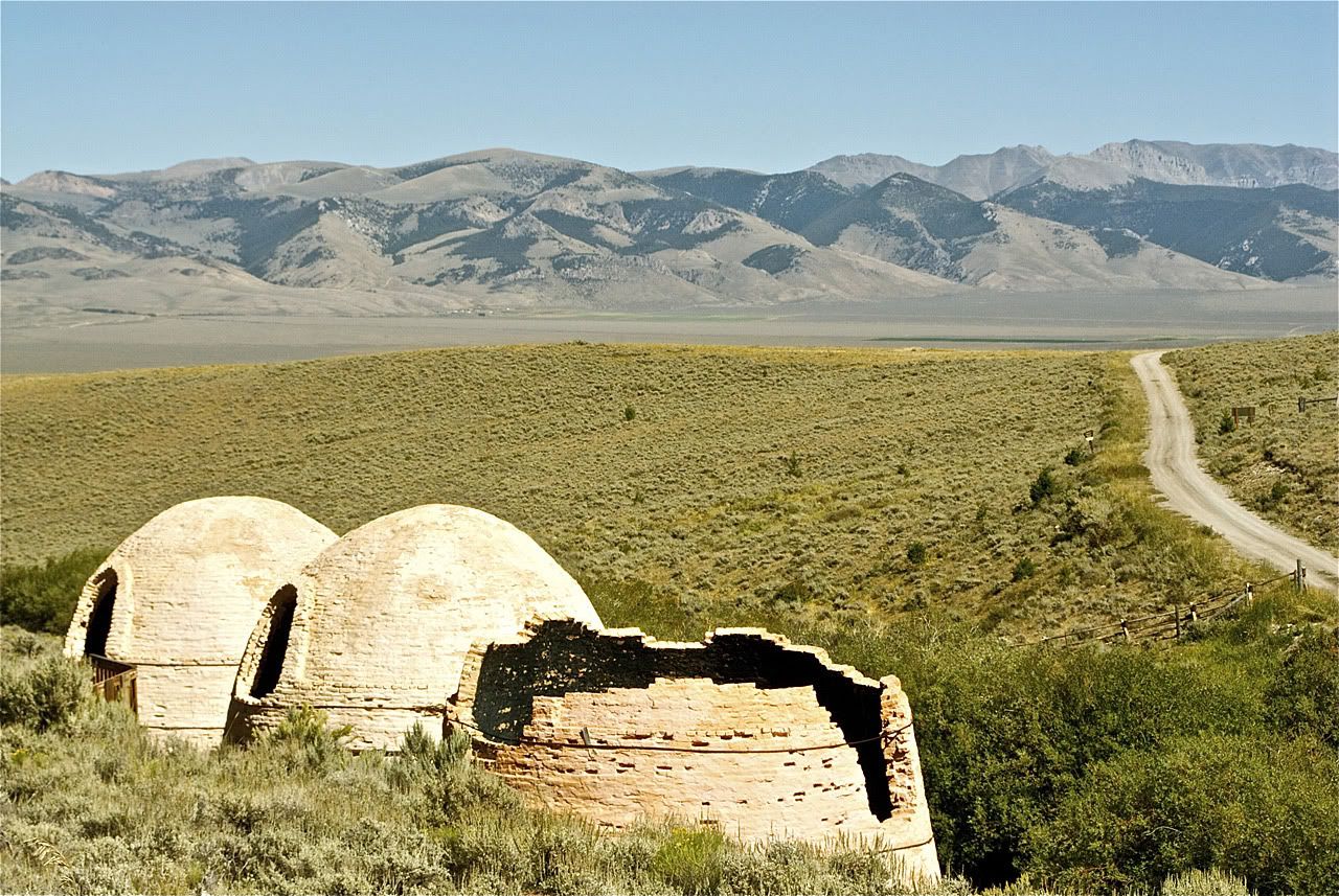
My goal for this day was to head north into the mountains, cross 3 ranges which come down like fingers with flats between them, and then head south to Twin Falls, ID. The first was the Lemhi Range and the historic Charcoal Kilns, page 187 of the book. To get to the Kilns you take one of a multitude of roads and tracks that crisscross the flat, this is where the book comes in handy as it has exact mileage and GPS coordinates. Crossing the flats here always means that you will probably encounter cattle herds. The trick is to drive through slowly and honk the horn if necessary.
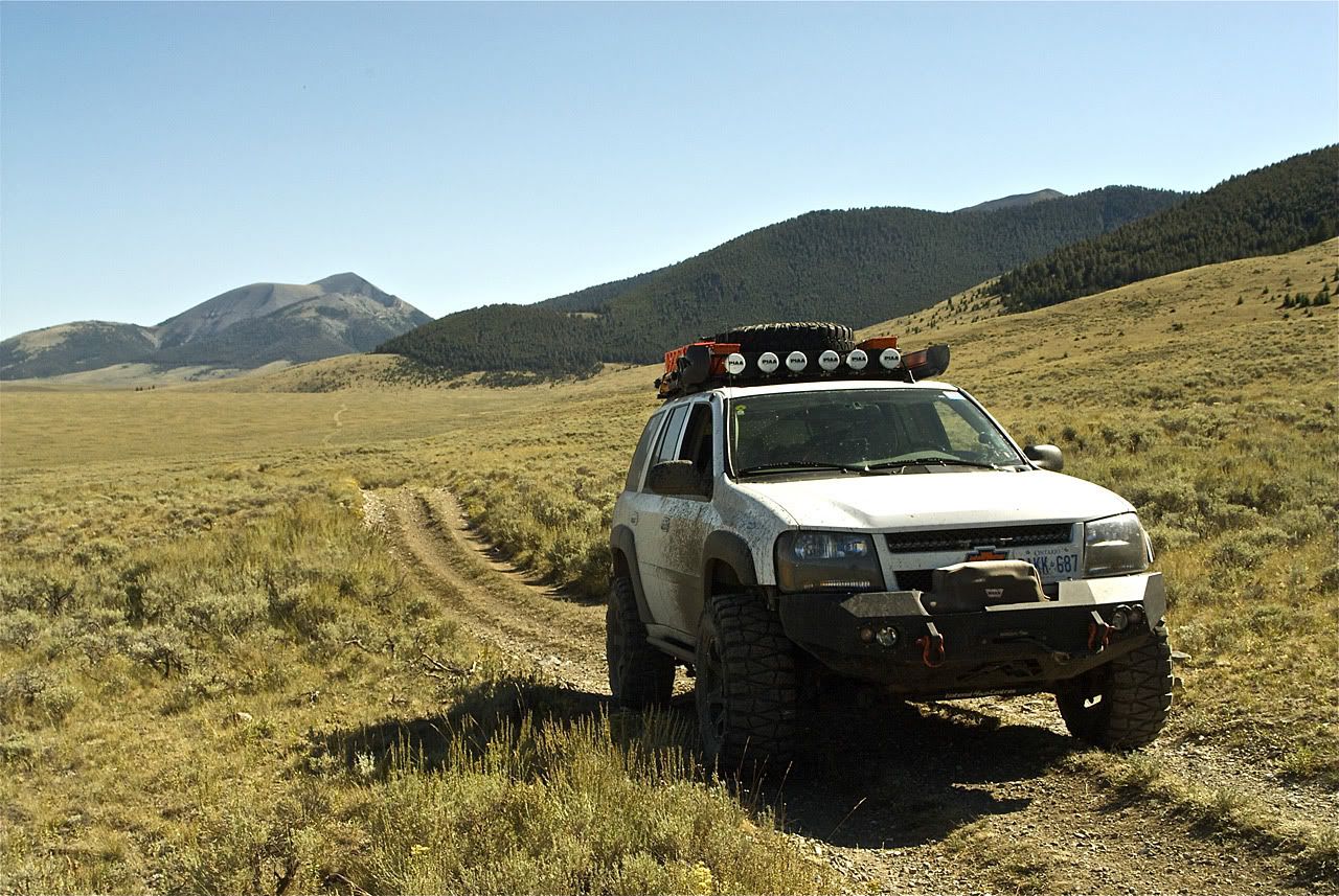

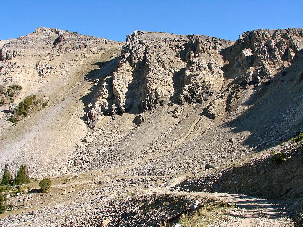
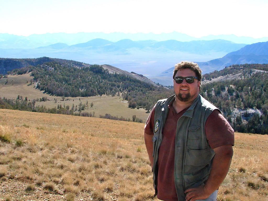
The Spring Mountain Canyon trail started up the mountain right away, and it got extremely rocky and bumpy right away too! It was definitely slow going all the way up to the pass. In fact, the book warns the reader about this as well. The trail got very scenic after clearing the tree line and reminded me of the great trails in Colorado.


No comments:
Post a Comment