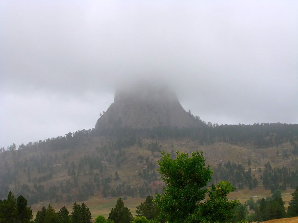
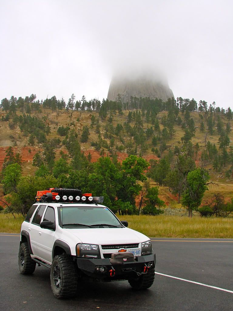
On this day, bad weather finally caught up to me. But I decided to drive up to Devils Tower National Monument anyways and give it peek. On the way there a fine mist started to fall and it got dramatically colder, enough for trackpants and a sweatshirt.
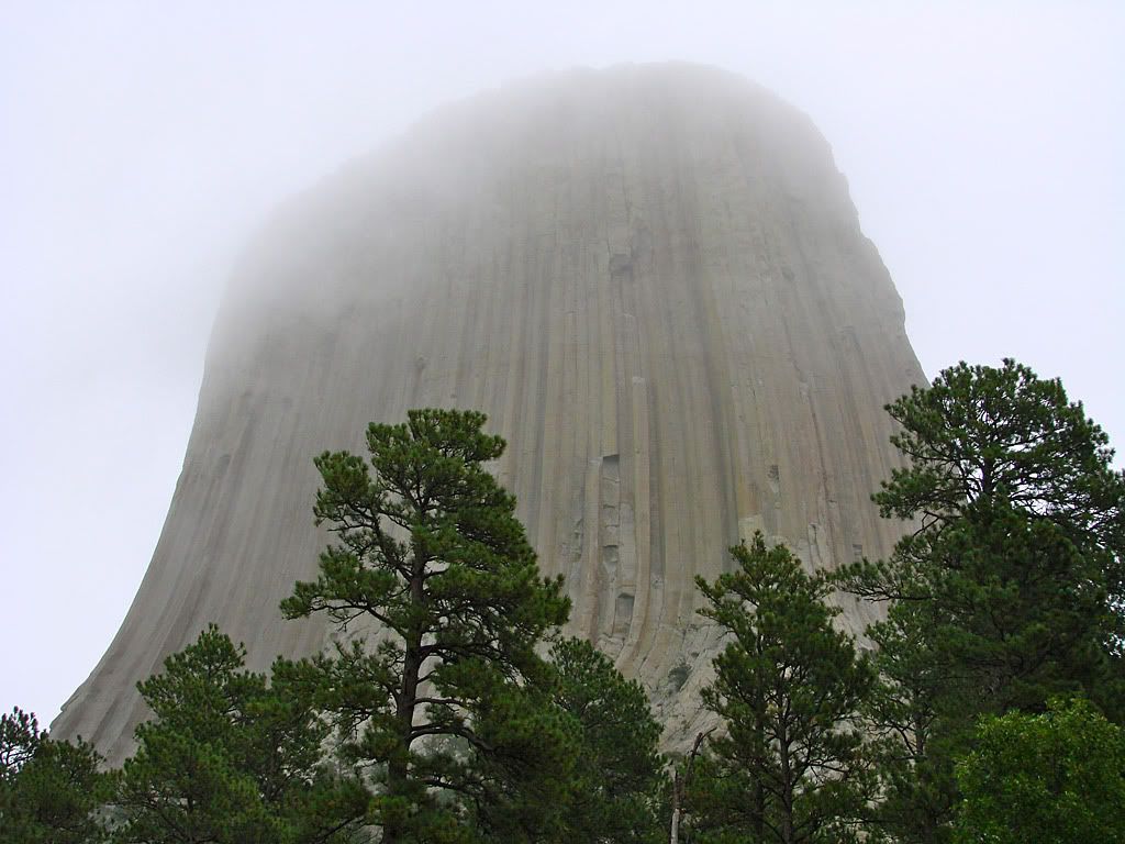
When I got there, the mist gave the tower an eerie feeling, sometimes visible, sometimes shrouded by a thick fog.
Map References - Day 5 - Sep 8
September 8 track:
Sage Creek Rim Road:
* large files - 1800 x 1200
I read about how the tower was formed, since its the only such outcropping of rock for hundreds of miles. It seems that millions (billions?) of years ago, a massive amount of magma (molten rock) thrust itself up towards the Earth's surface from deep down, but it never broke through. Basically a failed volcano. Over the millennia, erosion took away the softer earth around the volcanic rock and Devils Tower is what is left.
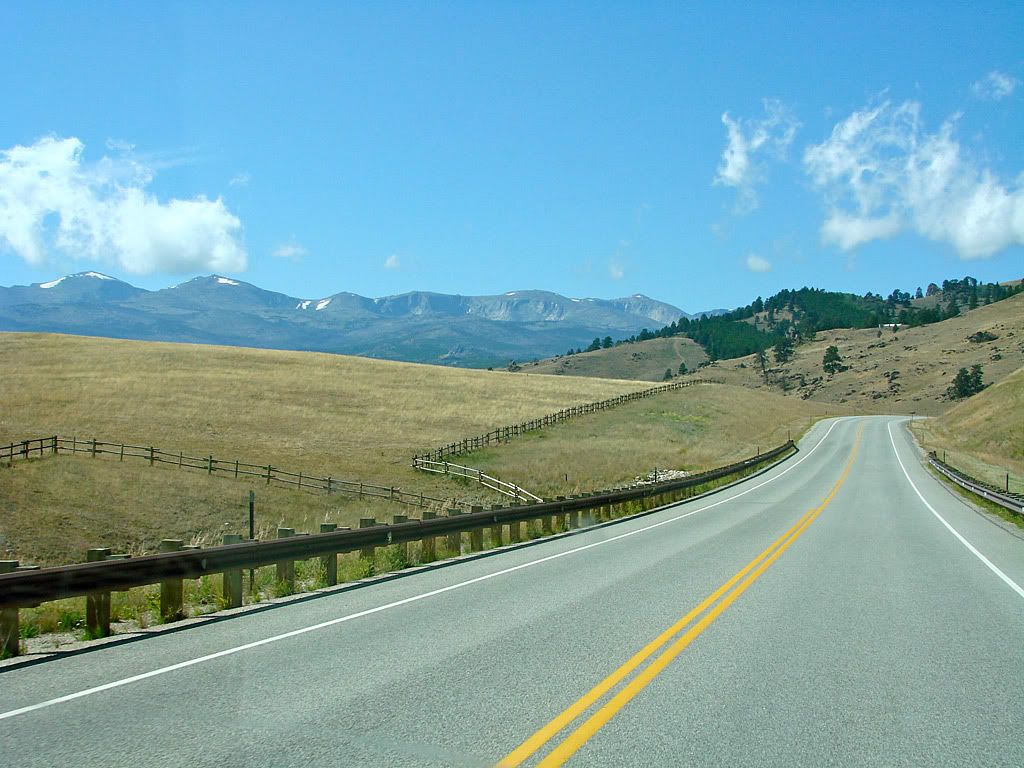
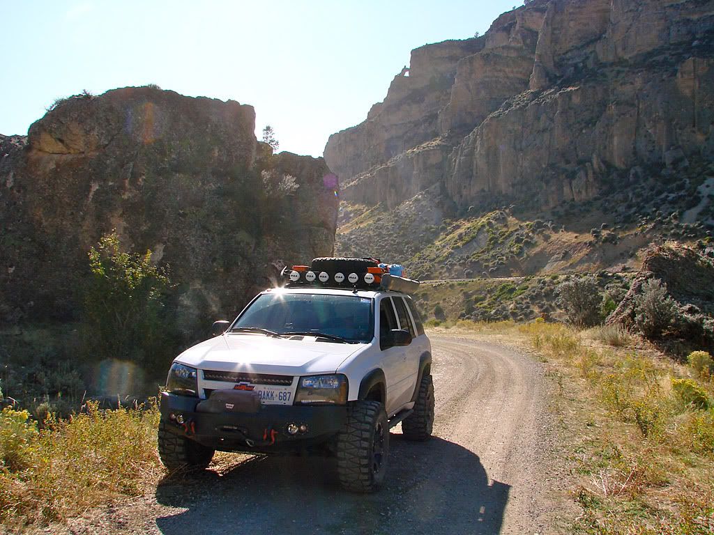
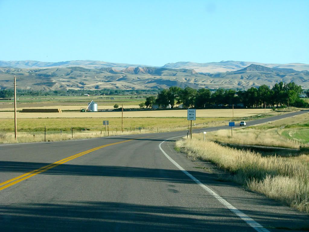
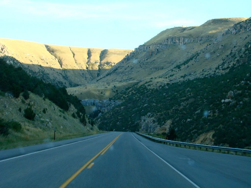
As I headed west towards Idaho, the weather cleared up nicely and I found myself driving through Bighorn National Forest and the Bighorn Mountains which are a sister range of the Rockies.


I used my Garmin GPS and looked for some forest roads that would take me away from the pavement, and return me back to the pavement further west. The first one ended up being an easy gravel road but with some nice views at various clearings.
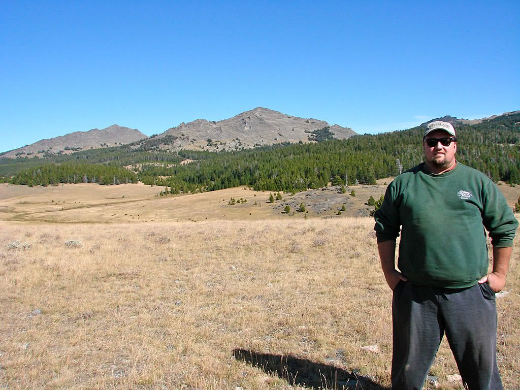
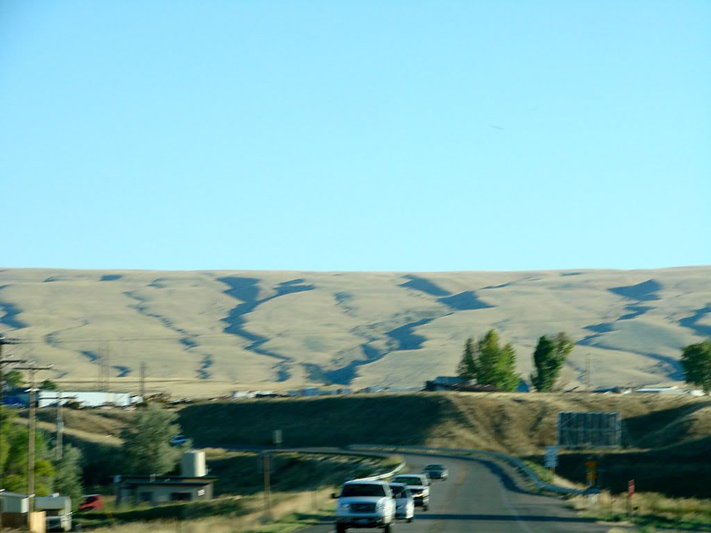
The second one was more interesting but had a dead end. There were a few turnoffs and I probably missed the one I needed to take. Bighorn is a very nice area of Wyoming and would definitely warrant a lot more exploration and camping.
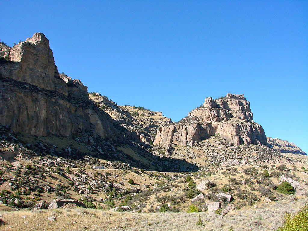
US 15, it drops into Ten Sleep Canyon as it leaves Bighorn NF. As I was descending into the canyon I saw a gravel road on the opposite side (to my left) of the canyon that looked interesting. Using my GPS I realized it was Old Hwy 15 and parallels the paved road all the way down and out of the NF.
Totally miffed at myself for having missed it at the top. I decided to turn onto it at the bottom, take it back up, and then take 15 back down again! I'm glad I did as there were some spectacular views all along Old Hwy 15.
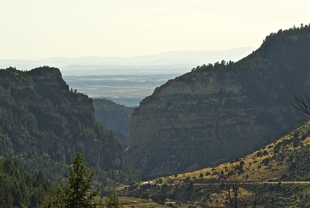
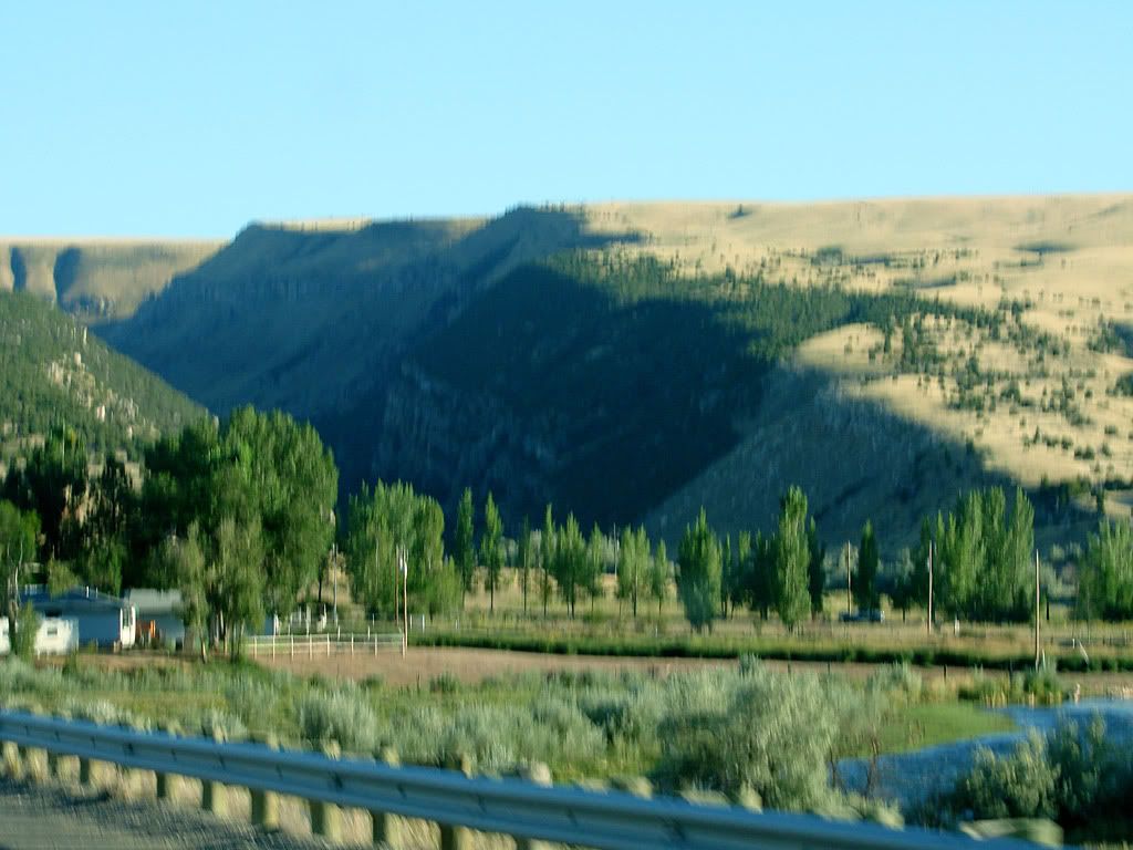
The next major landmark on the way to Idaho was Wind River Canyon. This one came up unexpectedly as all I saw in the distance was what seemed like a wall with no way through (Please excuse the blurry pictures, it was getting late in the day and the exposures were long).
But then as I got closer, a sharp cut started to appear and it was apparent that this is where the road was going to go. The road follows the Wind River closely and exits to the south at the Boysen Reservoir.


As darkness came I started to regret that I was not even able to get to the Grand Tetons before nightfall. I knew from when I started planning this that I was going to pass by Yellowstone and Grand Teton National Parks at night, or at least late in the day. This area has so much to offer that it warrants a dedicated trip, so for my planned destination of Utah, they would have to be missed this time around.
One last incident this day was encountering very heavy construction through Teton National Forest. As I was approaching, the traffic warning signs were flashing so I tuned into the AM info station. The road was completely closed to 2-way traffic all night. What they do is provide a "guide car" which takes a column of vehicles (including construction vehicles) through the zone. The problem is that you have to wait for the guide car to come back (bringing opposing traffic through) and that could be as much as 2 hrs the radio said! Luckily, my wait was only 20 minutes and off we went.


No comments:
Post a Comment