X88 expeditions - Documenting and sharing overland travels, adventures, and expeditions

October 18, 2009

Utah Expedition - Day 6 - Sep 9 - Part 2

Challis National Forest is right next to Targhee, so as soon as you crest the pass and start down, your are in Challis. There were a couple of tricky spots in terms of navigation as the main trail down was not immediately evident. But after a couple of false starts, I got on the main one and headed down to the next flat. Going down was a little better then going up, but still pretty bumpy!

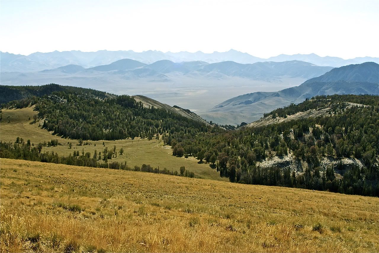
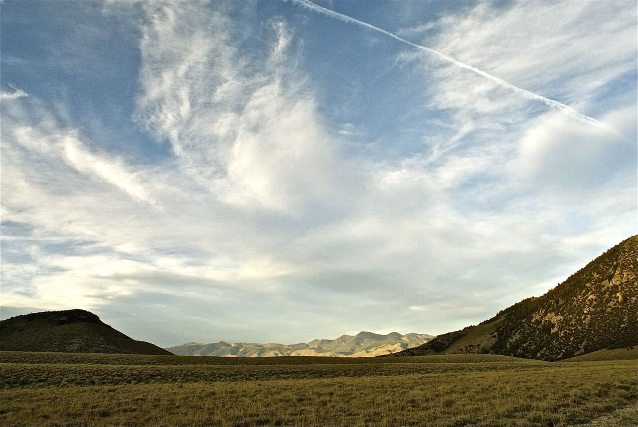
Map References - Day 6 - Sep 9

View Sep 9 track in larger window.
The next destination required me to go a bit more north in the flat and then west into the Lost River Range, page 169 in the book. This is where it all started as the original SUV magazine's article described the Upper Pahsimeroi river and the foothills of the Lost River Range of mountains. The reason this area has a nickname of "Little Switzerland" is because bunched together in this range are 7 of Idaho's 9 peaks over 12,000 feet. The trail (as described in the book) takes you right up close to this concentration of peaks.

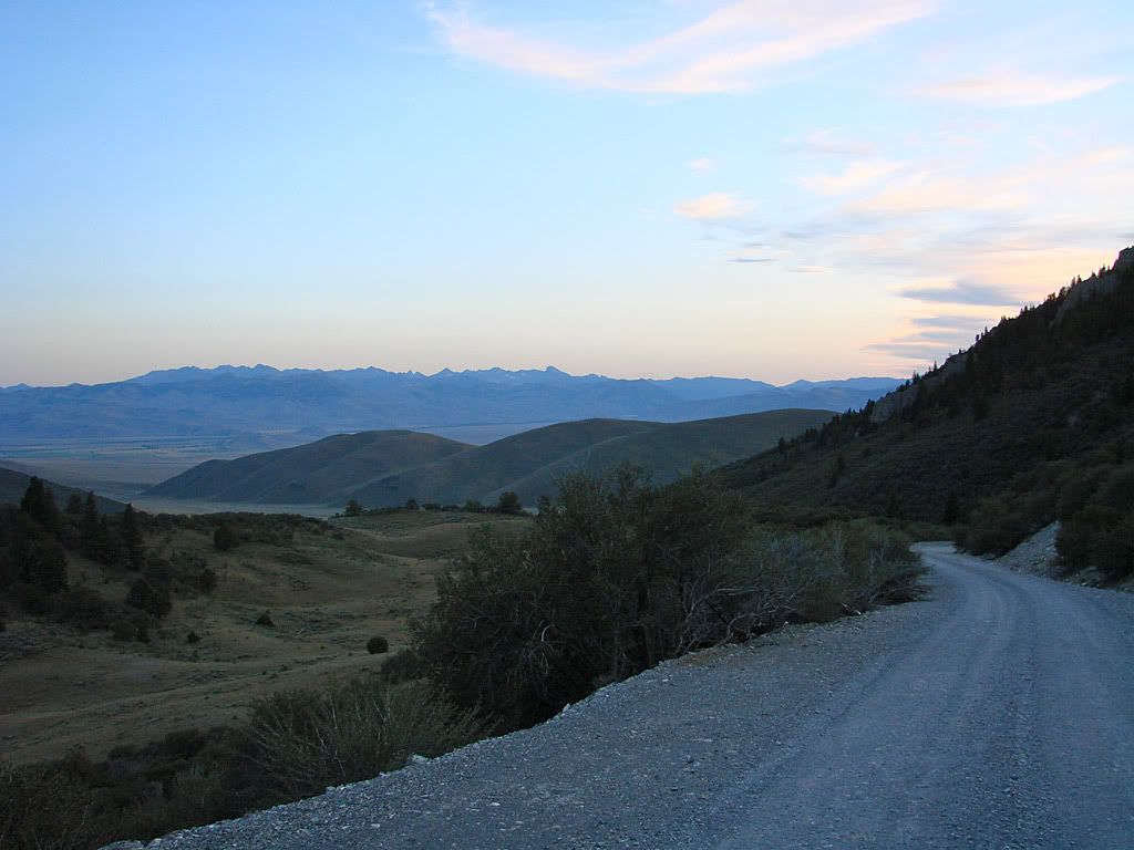
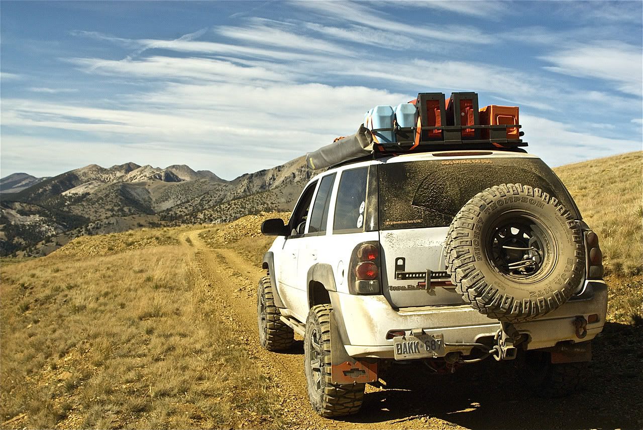
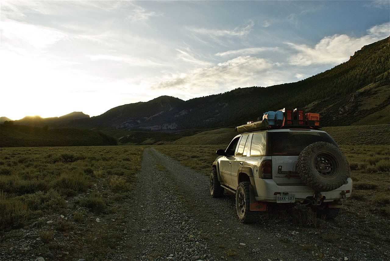
Unfortunately, I misjudged the amount of daylight I had left so when I got to the turn off to head south towards the river and Borah & Leatherman Peaks, I made a judgement call to not go. Going that way would require a return trip back to this turn-off spot in order to then head over the pass to come out at the next flat. Even though this pass road was described as drivable 2wd road, I didn't want to try it in the dark.

As I headed towards Doublespring Pass over the Lost River Range, I pulled off on a side trail to get some sunset pictures. I was still learning the intricacies of the Nikon D200 so some results were better than others.

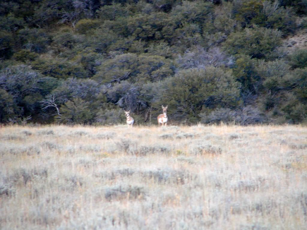
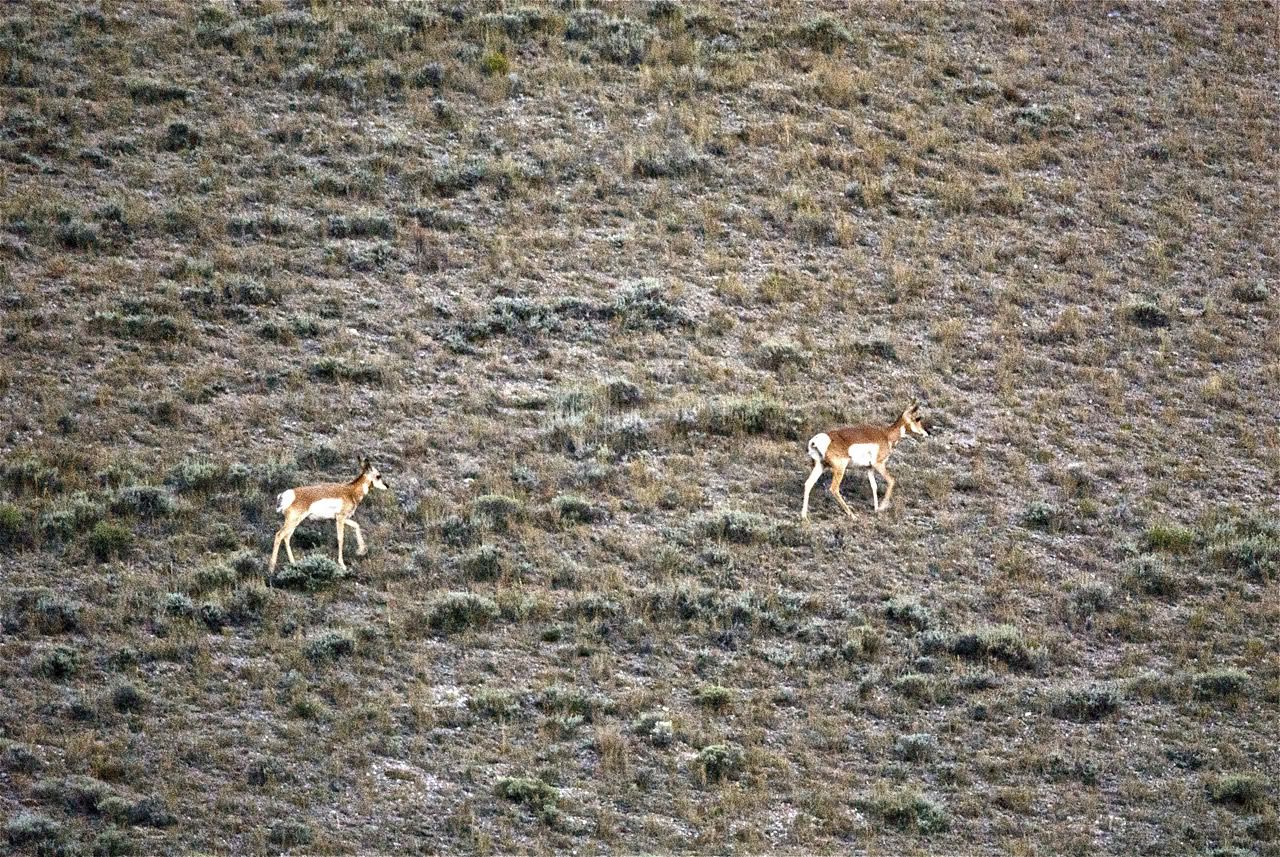
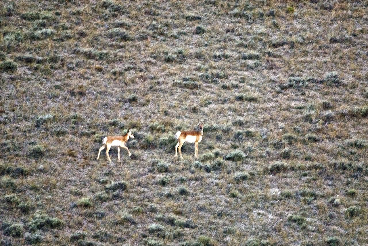
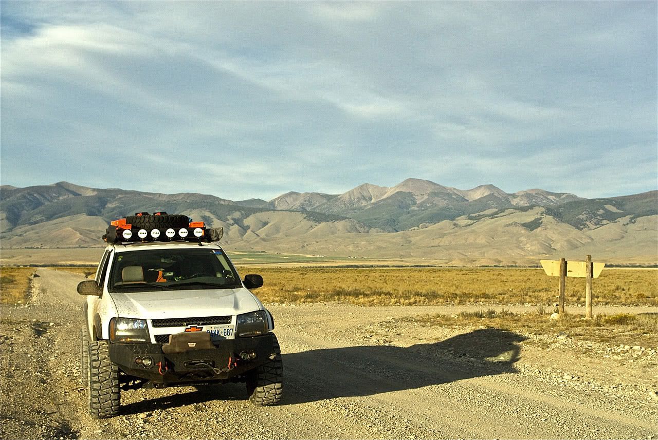
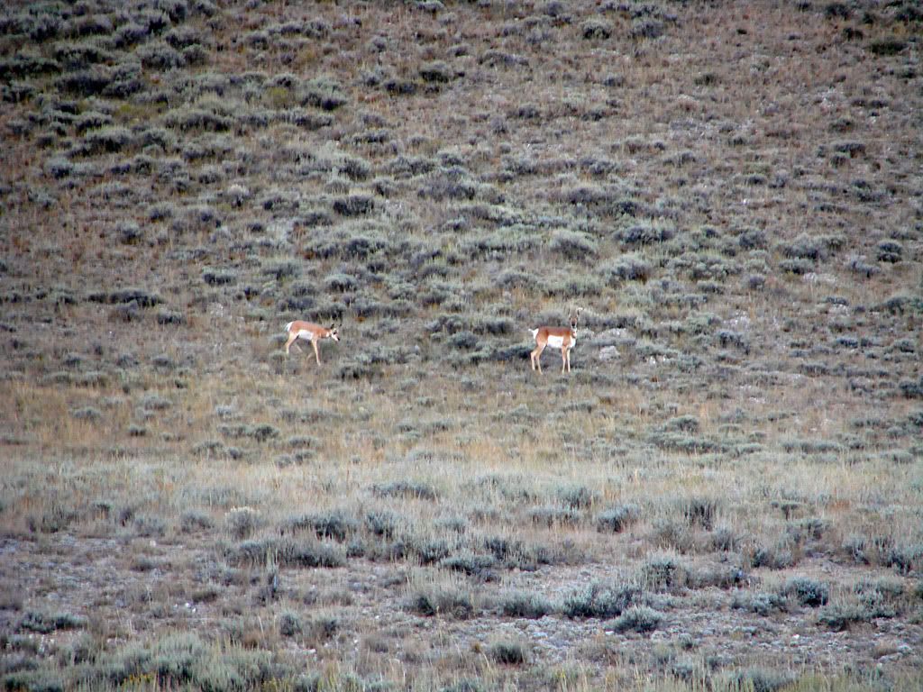
As I crested the pass and started down, I noticed some movement to my left far in the distance. A short while later I noticed what it was. Two Pronghorns were running in parallel to my Trailblazer, about 400 yards away. When I stopped to take pictures, they stopped. When I started up, they galloped along, it was pretty strange. Luckily the gravel road was very smooth here and I could truck along at a pretty good pace.

I finally got out to the Highway 93 just before it got totally dark. And therefore I had to cut my original plan short by 1/3. I was going to take Trail Creek Road (page 205 in the book) over the last "finger", the Pioneer Mountains, come out at Ketchum, and then drive south to Twin Falls. And even thought this graded gravel road was definitely rated as 2wd, I didn't see a point trying it in the dark, even with my PIAA's operational.

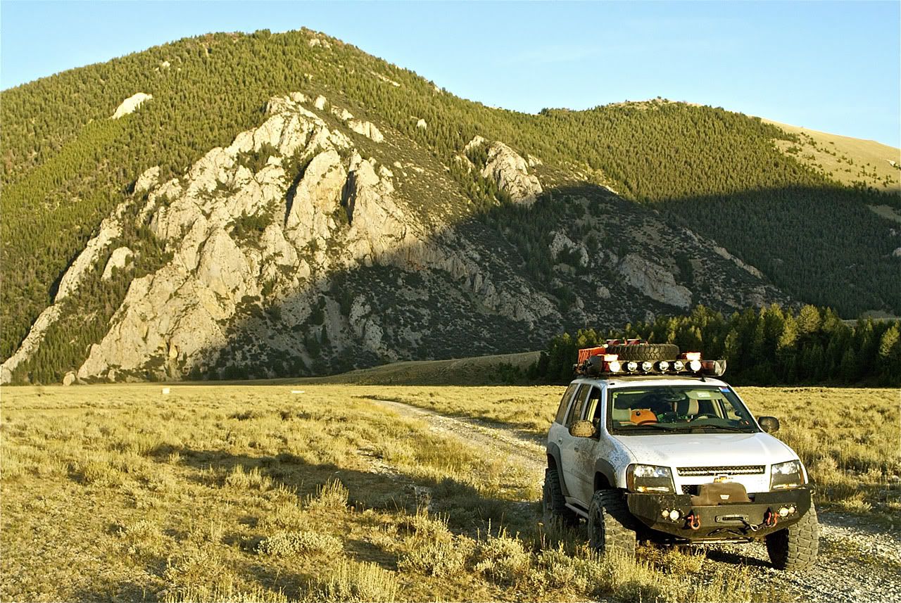
Ahh, forgot to mention that I had used the 4 PIAA long range lights on the Safari rack a few times up till now. You can see them uncovered in one of the pictures above. On a side note, back on day 7 after leaving Badlands NP, and on this night, driving to Twin Falls, they definitely saved my skin with wildlife crossing the road.

I always wondered if they would be effective since they are on the smaller side (I like how they fit well with the height of the rack). I am pleased to report that after I aimed them to light up ahead of me longer than the low-beams, but shorter than the high-beams, they are outstanding. In both instances some kind of deer bolted across the road at a point that would have been difficult to see with even the high beams. With the PIAA's, I was able to see the deer and slow down in time to avoid any carnage.

Even though it was dusk and getting pretty dark, I decided to get out my 500mm lens and try to snap a few shots (it needs a lot of light). These are the least blurry.

No comments: