Map References - Day 13 - Sep 16
September 16 track:
Reds Canyon:
* large files - 1800 x 1200
View Sep 16 track in larger window.
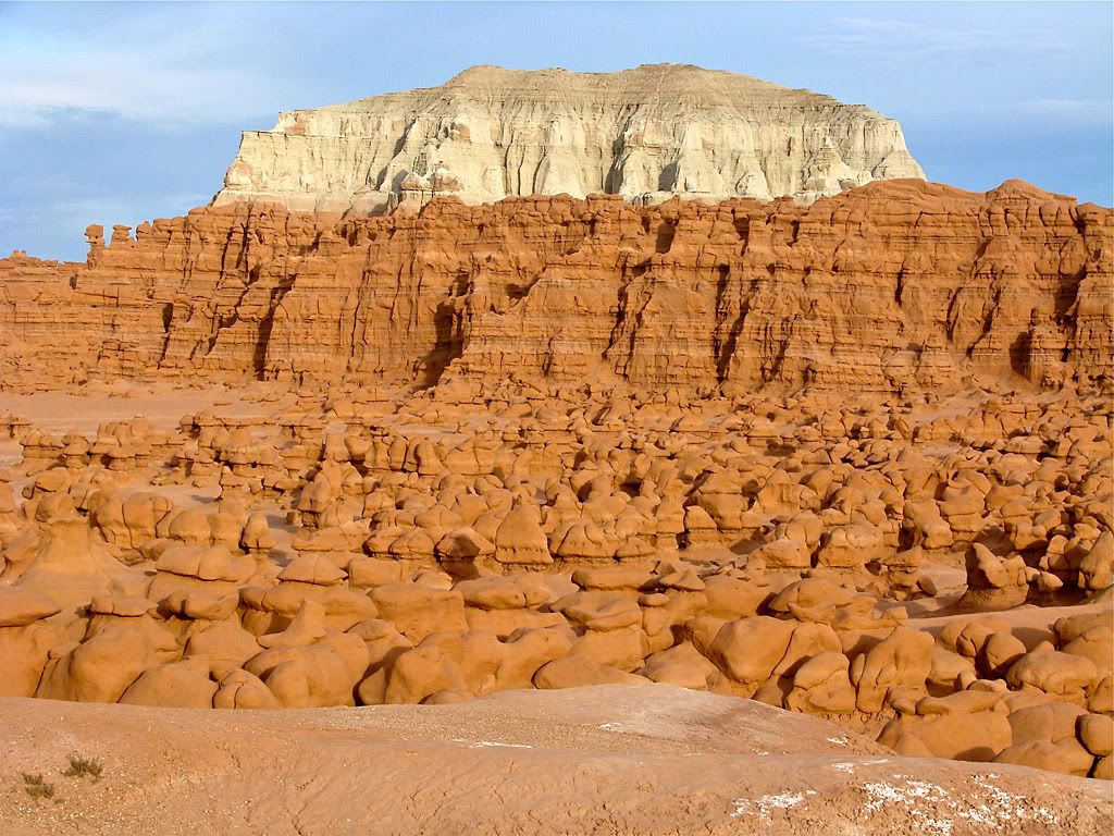
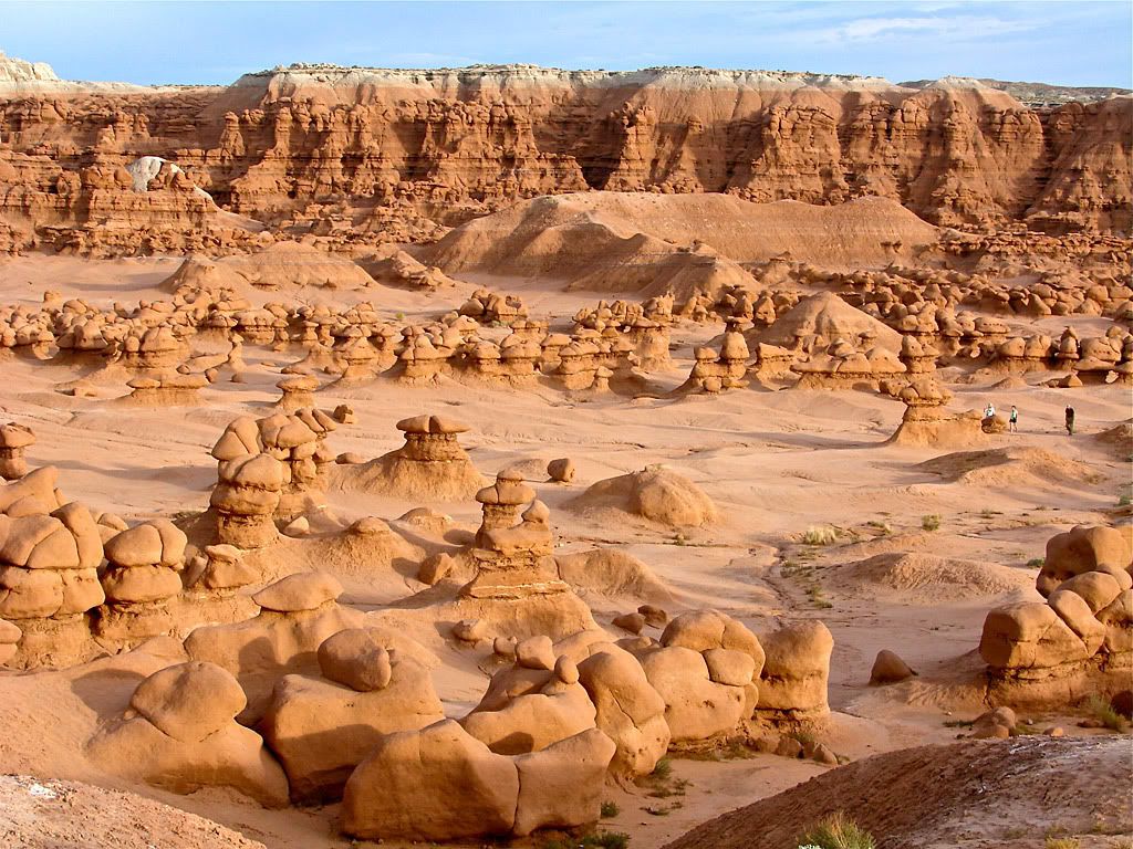
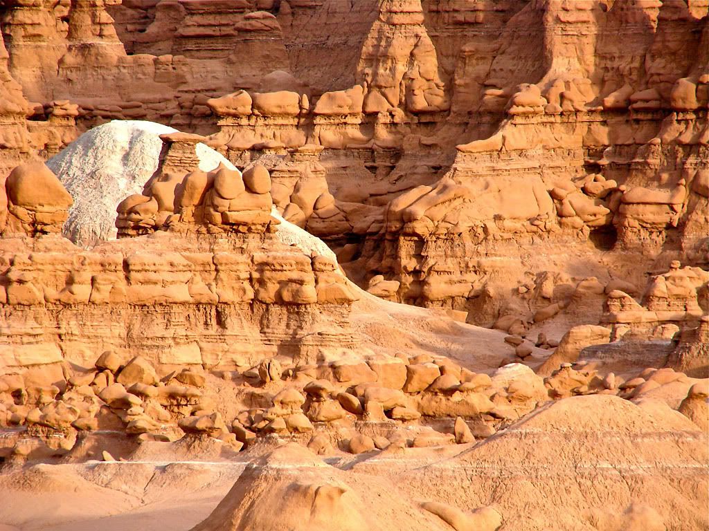
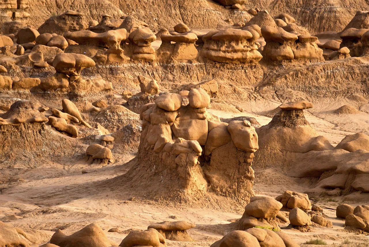
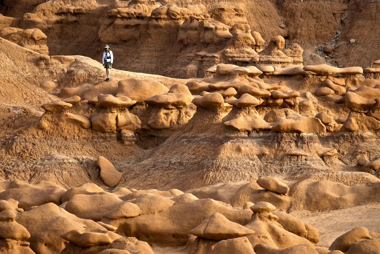
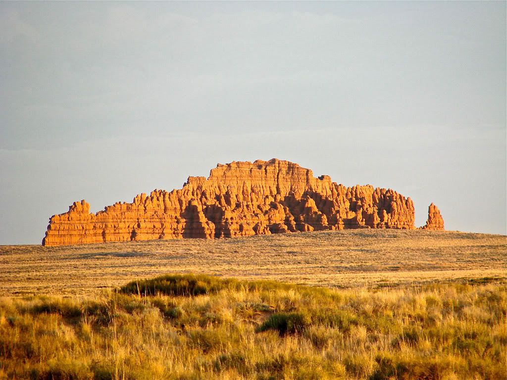
My last stop for the day was Goblin Valley State Park and the very interesting Valley of the Goblins.
Here's how the book describes the natural formations:
- These unique rock formations have been carved out over millions of years by wind and rain and are thought by many to resemble little goblin-like creatures.
I arrived there just before the sun started to go down so I stayed a while waiting for the sunset to really light up the valley. Here's a series of photos showing the wide view and some close ups.
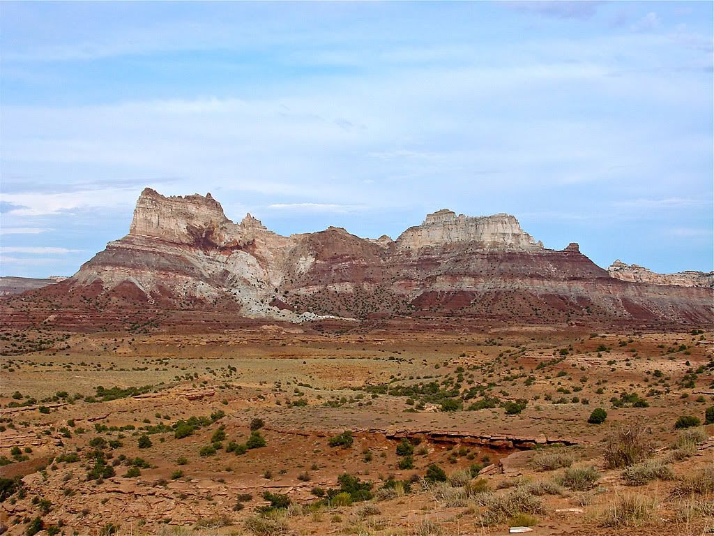
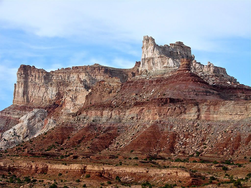
Reds Canyon Trail ends back at Temple Mountain Trail, which then continues east back to pavement. Along the way it navigates around Temple Mountain, into a canyon, and finally ends back on the flat.
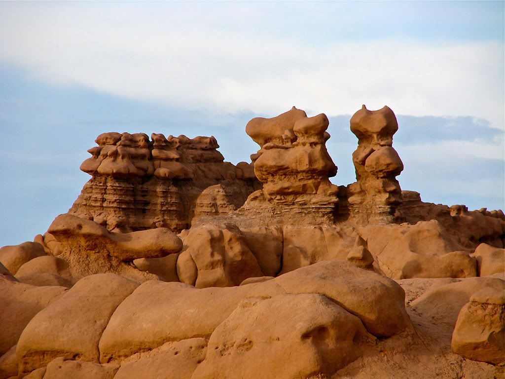
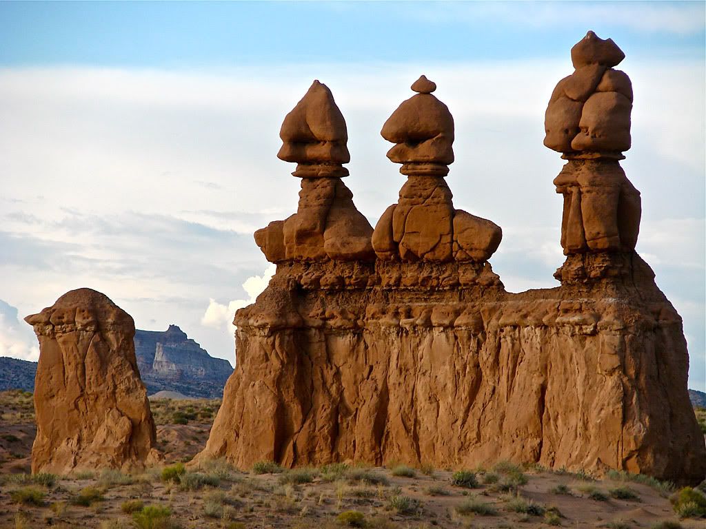
I snapped a picture of myself next to a goblin and on the way out of the park I saw the "Three Sisters" formation.


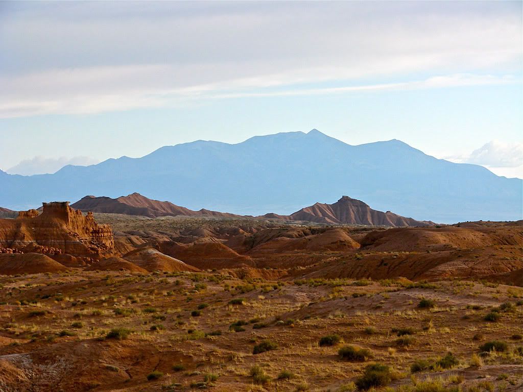
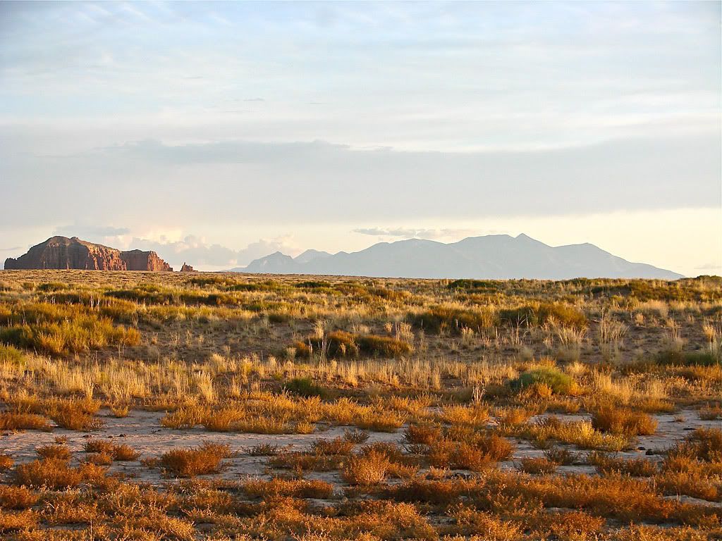
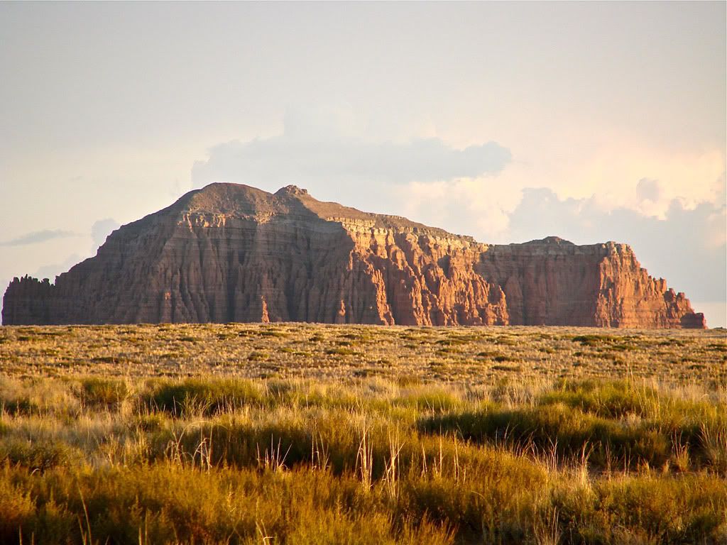
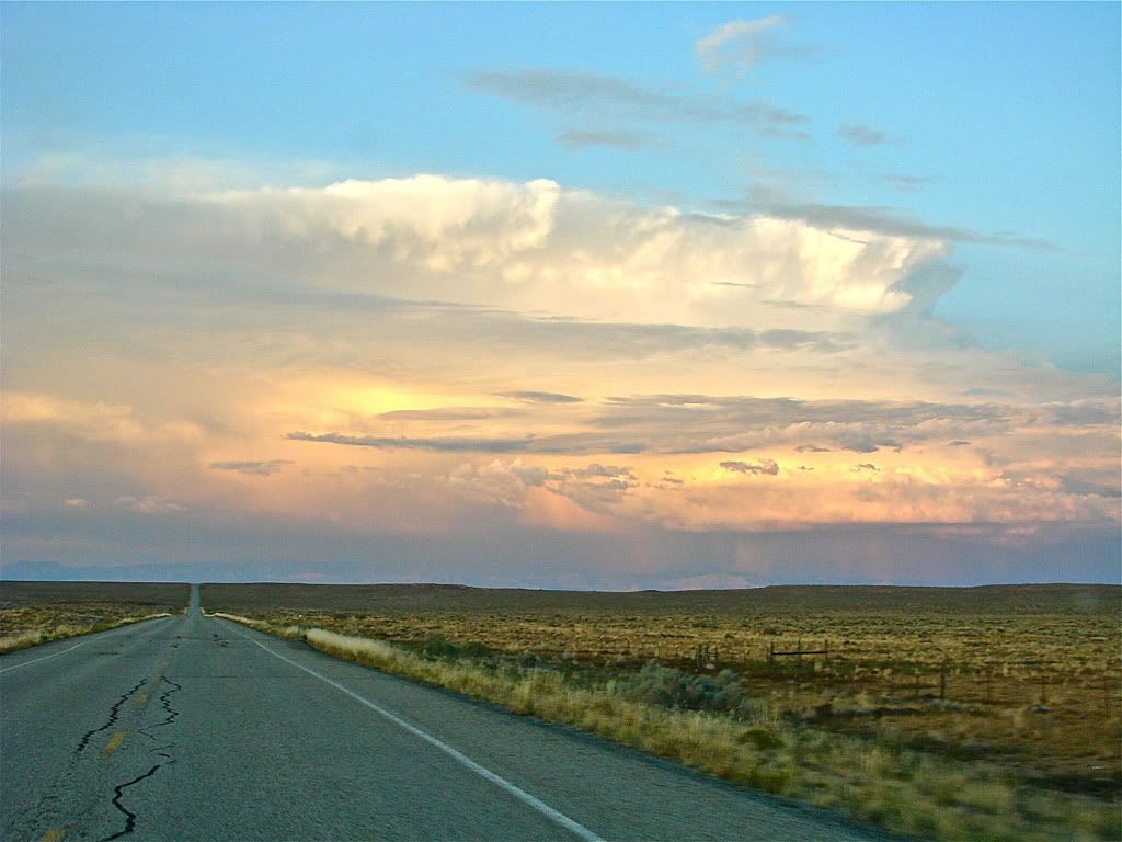
As I was leaving a great sunset was shaping up with the Henry Mountains in the distance. This remote range were the last mountains to be mapped in the lower 48 states (in 1872). In between me and the mountains were some great rock outcroppings that just lit up in the setting sun.
I then headed north to Green River for the night. I could see heavy thunderstorms shaping up in the distance, and when I was driving into Green River the skies looked ominous in the dark, but the rain stayed away all night. Good news because the next day was going to be a big one.


No comments:
Post a Comment