X88 expeditions - Documenting and sharing overland travels, adventures, and expeditions

November 9, 2009

Utah Expedition - Day 14 - Sep 17 - Part 1

Now that is a real Expedition Vehicle! A bit more on this later.
After I gassed up and headed east from Green River, I noticed an interesting sign by the side of the road (no picture) and then snapped a few photos while driving.
This day started with absolute clear skies, the ominous weather from the night before seemed to just disappear. As I leave the hotel and out to the Trailblazer I see this sitting in the parking lot:
Nothing special right? Except that the Interstate passes right through the Green River Launch Complex, an annex of the White Sands Missile Range in New Mexico.
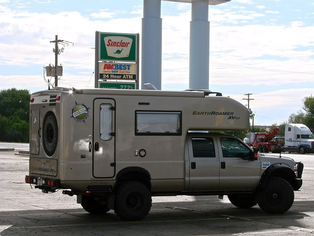
The U. S. Air Force, built the Green River Launch Complex, just out of Green River, 1964. It was an annex of the U.S. Army's White Sands Missile Range. From 1964 to 1973 the U. S. Air Force launched 141 Athena Missiles from the Green River launching area, near the Crystal Geyser. From those firings research was done to improve nuclear missiles.
My first stop today was Canyonlands National Park visitor center and ranger station. To plan my day and decide how much time I would spend on the Island in the Sky and when I would head down the Shafer Trail (Southeast Region Trail #1, page 108), I spoke to a ranger and asked about the storm clouds to the east. He looked up weather radar on his computer and said I should be OK today as the storm did not look to be heading west from Moab, only south.

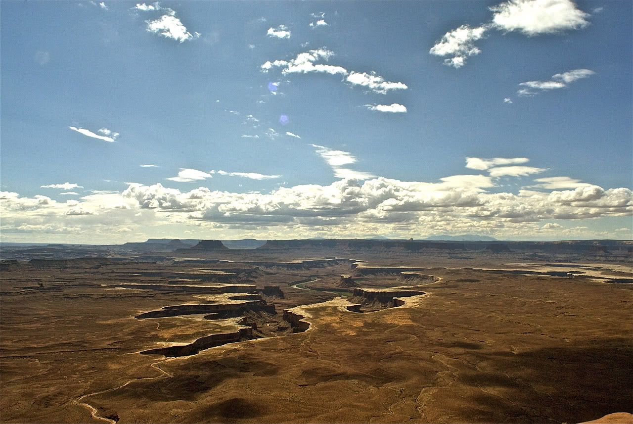
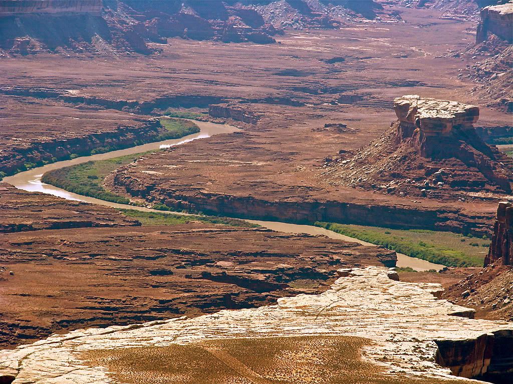
So I decided I would head south first and check out the Green River overlook. The views were spectacular to say the least.

If you look carefully you can spot the White Rim Trail winding its way around the canyon drop offs on the plateau. This may be where Roadie took his photos.

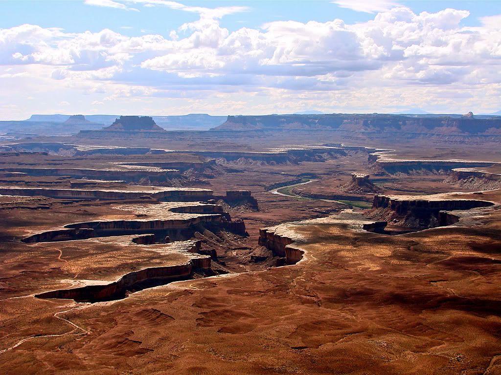
I decided against heading further south to Grandview Point, and instead drove back towards the beginning of the Shafer Trail. But first I grabbed some photos at the overlook.

You can see the summer monsoon storm I was worried about in the distance in the first photo. But true to what the ranger predicted, the rain didn't even come close to me that day at the Canyonlands, although I did encounter it later on in the evening.

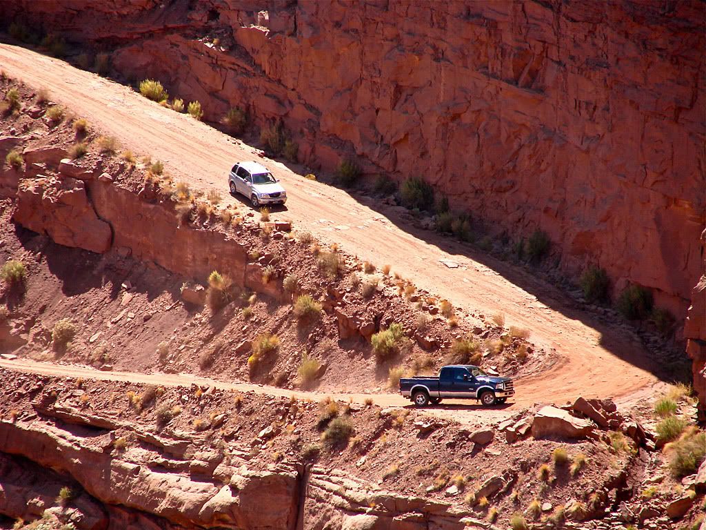
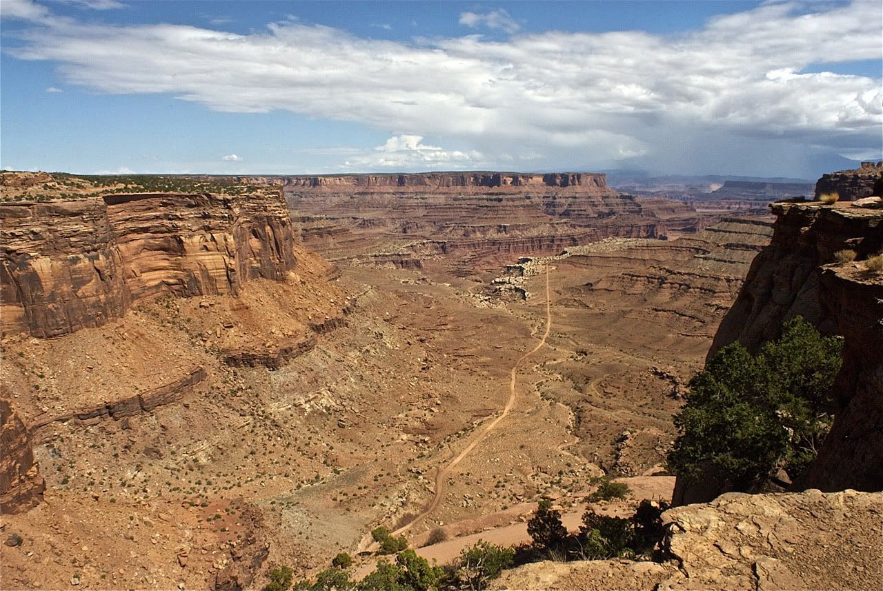
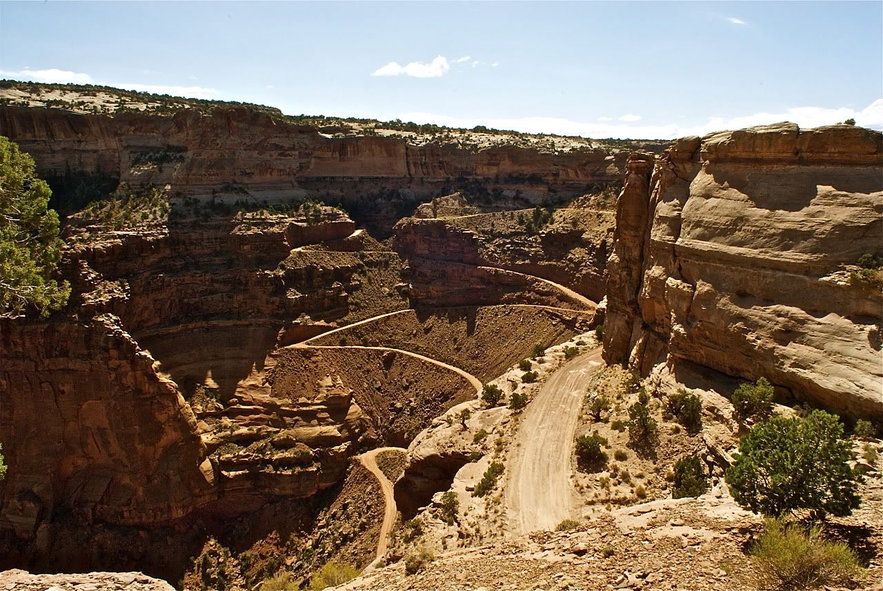
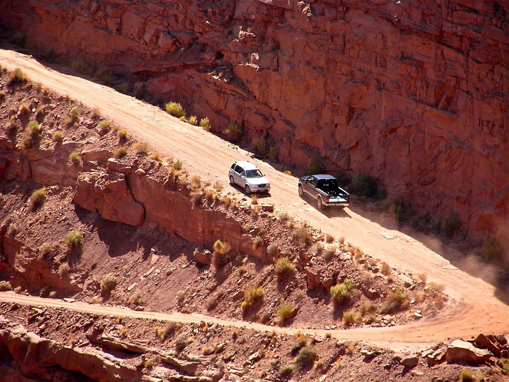
The overlook is an interesting place to watch the traffic go up and down the Shafer trail (mostly down). The trail itself starts north of the overlook, winds its way around it, and then heads seriously down into the canyon using the switchbacks you can see. Part of the entertainment is watching how drivers pass each other. Sometimes there's room for two vehicles, other times not. Its up to the driver heading down to pay attention and to decide whether to wait at a wide switchback for the driver heading up, because as everybody should know, uphill drivers have the right of way, so says proper trail etiquette.

No comments: