Map References - Day 7 - Apr23
* large files - 1800 x 1200
The last bit of road has been paved due to its steepness. At the end there is a parking lot, picnic area, and toilet. The views are great both to the east and west with the cliff right above the parking lot. Several groups came up with rock climbing apparatus so I assume this is a great spot if you are so inclined.
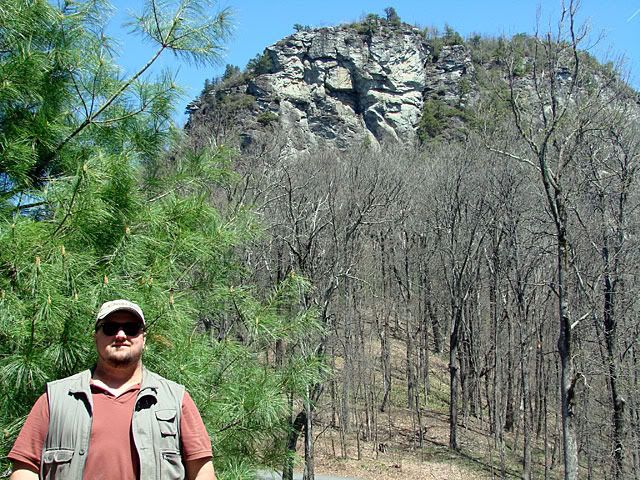
There are hiking trails that lead in all directions, including to the top of Table Rock Mountain. I did not take my hiking boots with me on this trip as I still have some tenderness in my toes from old cuts.
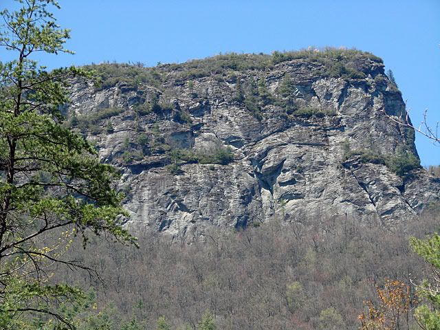
Here's a different angle of Table Rock after heading west to meet up with the Blue Ridge Parkway.
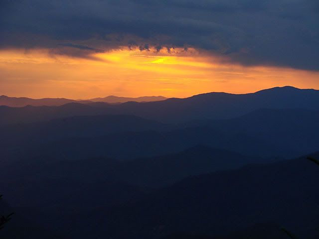
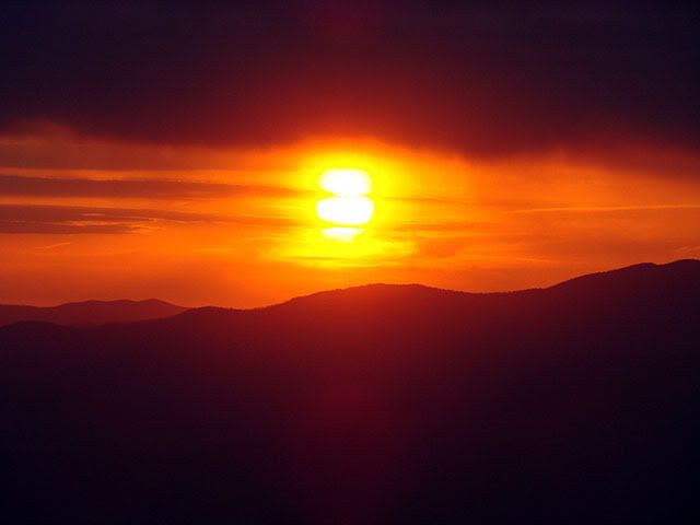
The Parkway is beautiful as it winds its way along the Appalachian ridges. There are vistas almost every 5 minutes and stopping for each one would extend your drive tremendously, so you need to pick your spots.
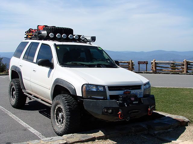
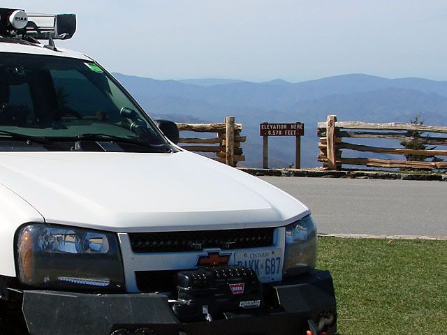
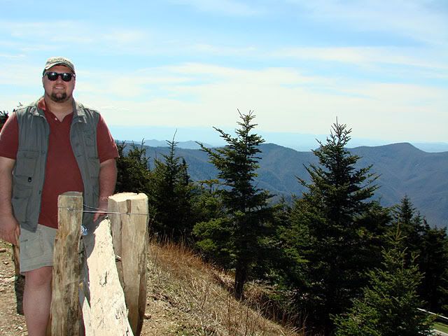
My main destination on the Parkway was Mount Mitchell, the highest point in the US east of the Mississippi. Second is Mount Washington in NH but that is potentially for another expedition.
The road up to Mount Mitchell turns off the Parkway and is paved all the way to the top, where there is a parking lot, picnic areas, snack bar, and trails to the actual peak. It was early in the season so everything was closed but all the crews were out preparing, I assume for the Memorial Day weekend.

The only glitch was that the Blue Ridge Parkway was closed south of Mount Mitchell. It seems that a cliff gave way during the winter and as a result, heavy road repairs were needed, again, I assume they would want it open for Memorial Day.
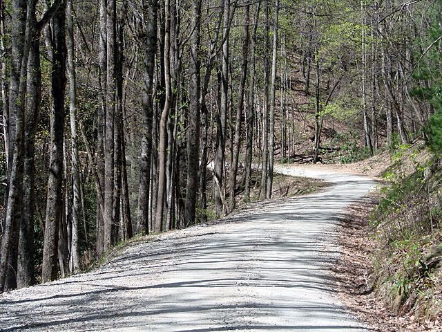
Using my GPS I improvised an offroad route which which did not take me all the way back to the official detour. Again, a graded gravel road but interesting nonetheless.
Rejoining the Parkway in Azalea, I headed south again. There seemed to be many more short tunnels in this section, which also included the highest point on the Parkway itself.
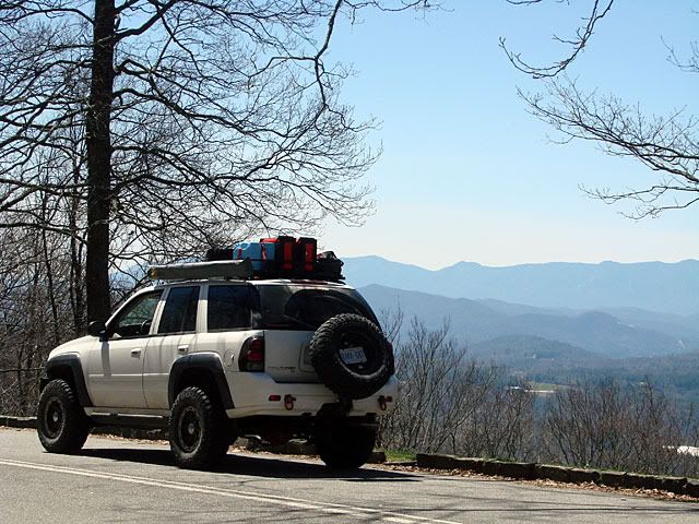
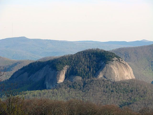
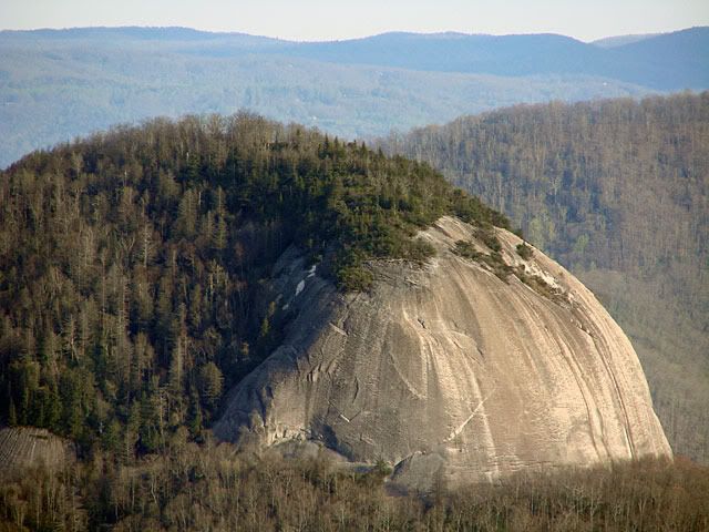
Along the drive I stopped at a couple of vistas. One was a nice frame for the Trailblazer, the other was an interesting dome-like rock formation.

My destination was the Days Inn, Alcoa. Which is where the airport is for Knoxville. A couple of interesting things on my way down from the mountains:
- At one point the road did a complete 360 degree turn where the ending of the turn was in a tunnel underneath the beginning of the turn - I guess its an alternative to 3 or 4 switchbacks. Here's the loop in Google StreetView.
- As I passed through Gatlinburg Tennessee, I put my GPS unit to the test as the main street was completely closed for a ribfest and I had to get around that


No comments:
Post a Comment