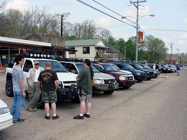
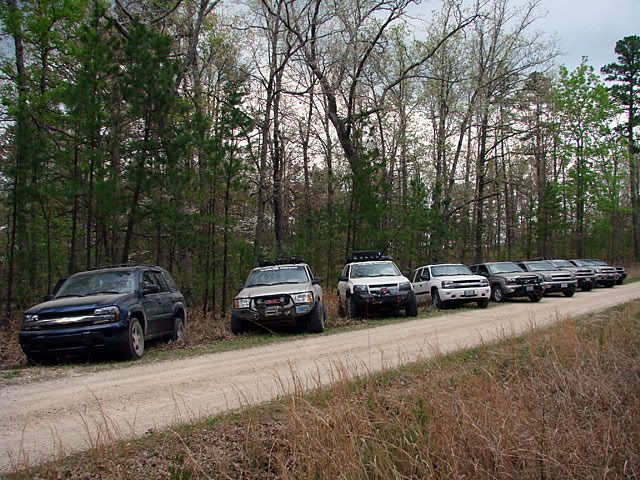
Lots of interesting discussion, great to have met so many Trailvoy owners, some curious locals came out, there was the BBQ, and the raffle. A good cross-section of Trailvoys was represented.
Map References - Day 9 - Apr25
April 25 track zoomed:
* large files - 1800 x 1200
After the BBQ Big Ed presented the Roadie and me with some great plaques for attending from so far away. Thanks very much again to Big Ed and everybody else, it was a really nice thing to do.
And finally a big thanks to High Voltage for the Trailvoy.com Offroad decal. It looks great up on the windshield, more pictures with it on my trip home.
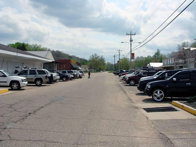
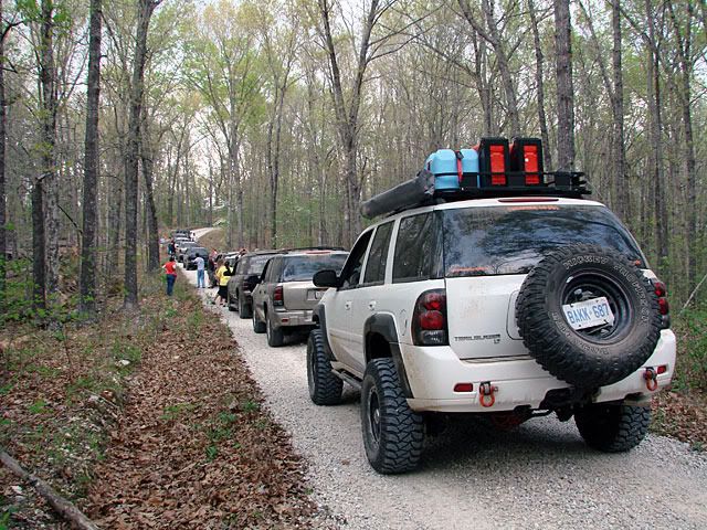
Here are some more posts with pictures from the meet, the campground, all the various Trailvoys, the plaque presentation, and finally some scans of news of the event in the local paper.
More Pictures 1
More Pictures 2
More Pictures 3
More Pictures 4
Entire MORA picture and video thread

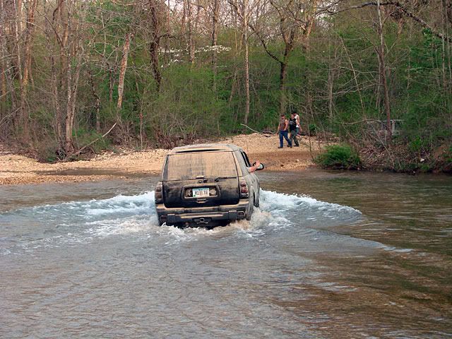
One of the numerous water crossings.
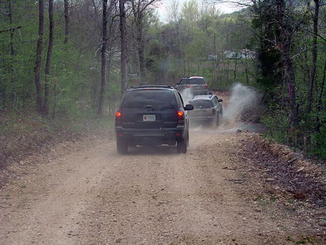
I do have to say that the trail/road that continued further was much more interesting and exciting with the deeper water crossings, muddy terrain, hills, etc. This came with a price though as we were flying by the seats of our GPS units and going down unexplored territory.
Again, this was all discussed in another thread. Two things in particular stuck in my sides though:
- GPS and Topo maps - Every single map, including Google shows a navigable road across the river. Maybe in the summer or autumn when the river is low it is fordable, but it should be marked as intermittent as a minimum. It didn't help that the OnStar lady (I called while we were waiting to hear back from the authorities) said to "turn around and take the bridge over the river to Hwy V". Sheesh!
- Emergency call - I thought it was a good idea we called. For me, all I wanted was confirmation from the Forest Service that the road we were on (County Road P-235) was going to remain the same quality (graded gravel) all the way north to the highway. If we got that info back right away, we could have driven ourselves out of there.
But in any case, we ended up meeting the forest rangers on patrol which very graciously escorted us out in the dark.
Looking over my GPS tracks at home was fascinating. I marked 2 spots where we went in a particular direction, both of which took us further away from major roads and deeper into the brush with the Current River being the major obstacle. The zoomed in Garmin track shows one turn where going the other way would have taken us out to Hwy B, and another where going the other way would have taken us out to Hwy 106.
The other thing that the track shows is how very far going north to Hwy 72 was. This is what I saw on my GPS at the time, miles and miles of road with more than a few crossroads. That's why I really wanted to get the road quality information before heading out.


No comments:
Post a Comment