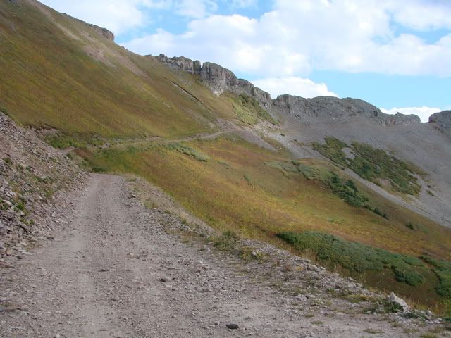
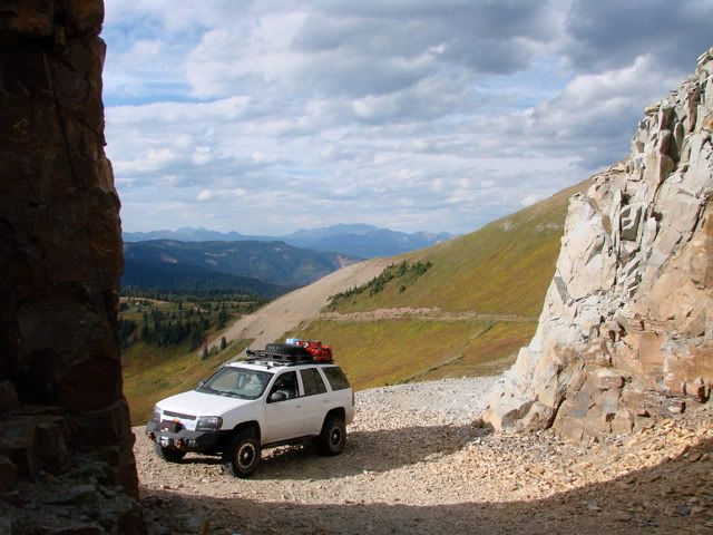
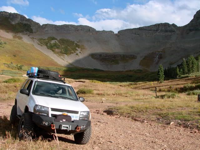
The Kennebec Pass trail goes to the pass, which is an interesting notch cut into the ridge, but it doesn't continue as the other side of the trail is unpassable they say. I can probably attest to that as there is a trail going down if you can call it that. Its extremely narrow, steep, and looks unstable. I also should mention that I noticed some memorials at the pass which I would assume are there for someone's untimely demise. The trail is rated a 5 (out of 10) in the guide book, which is the highest rating they write about - with a few exceptions such as Black Bear and Red Cone. The rating stems from 4 things - the steep and rocky trail leading up to the basin, the very narrow shelf road, the high drop-offs, and the small turnaround area at the notch. There is a parking area just before the last shelf road to the pass. This is where there is access to the Colorado (hiking) Trail with the true Kennebec Pass about half a mile east. Two views from the parking area, one looking west and the other south along the shelf road. As there was no other vehicle up there I could proceed (the guide book give this recommendation as there is no way to pass here).
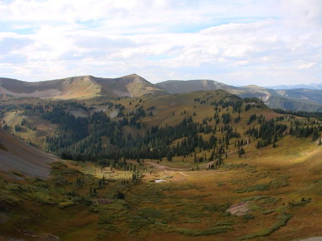
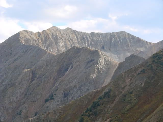
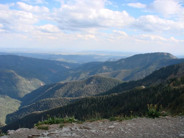
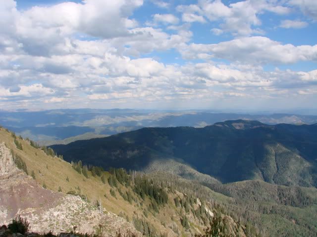
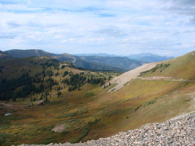
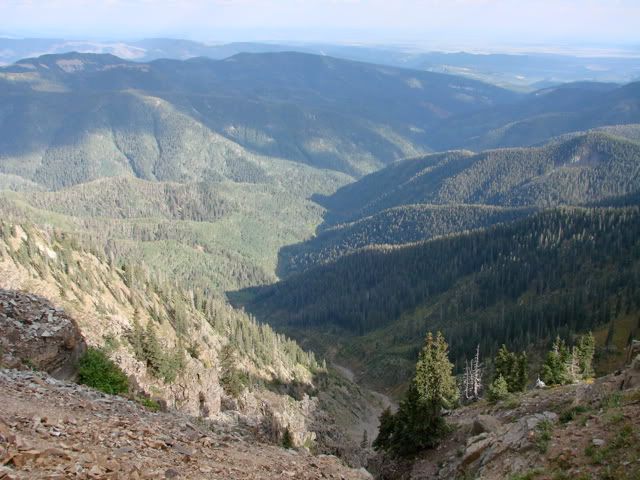
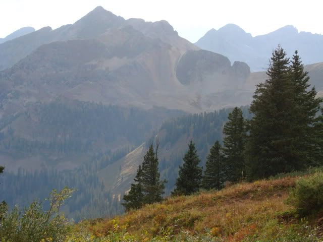
Once at the notch I took in all the amazing scenery on both sides.
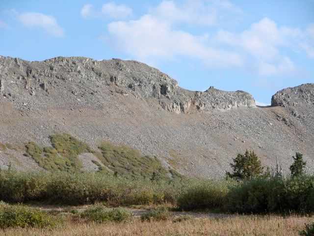
Looking west
Looking east
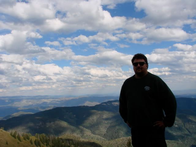
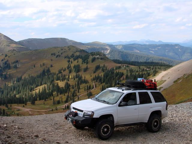
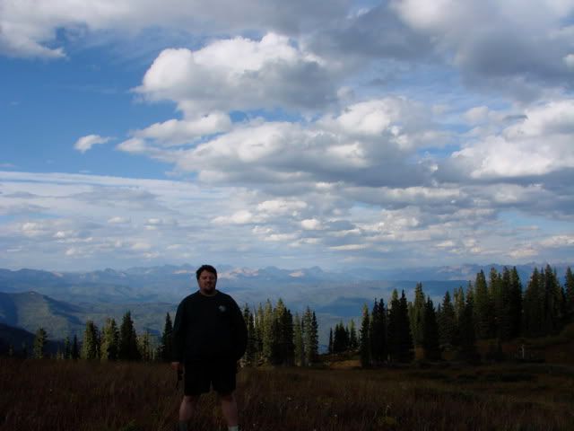
Now to try to turn around ... With no spotter to help me out, turning around proved to be more difficult than I had anticipated. The guide book says the notch is at 12,000 feet with a 300 foot+ drop off. So I spent about 15 minutes analysing and planning how I would turn around. In the mean time ... more pictures.
I finally ended up doing about a 25 point turn and got the Trailblazer pointed the right way. Once back at the parking area I relaxed a bit from the white-knuckle drive I just finished.

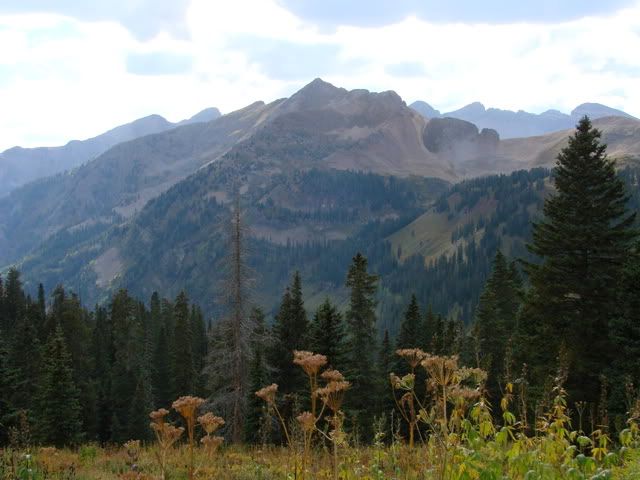
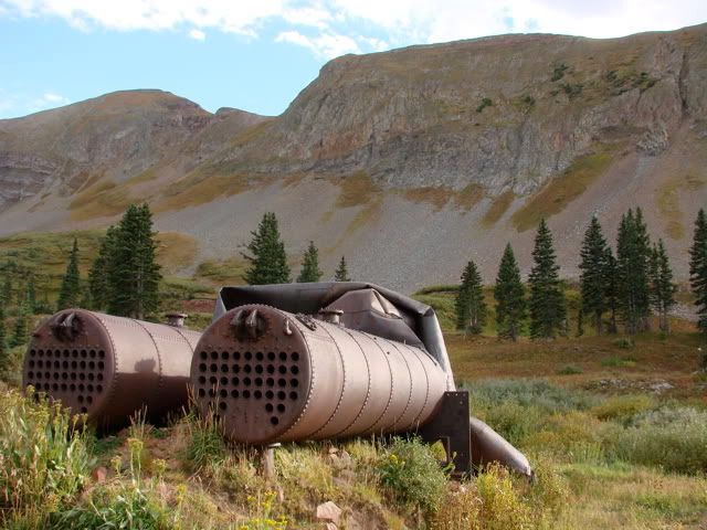
I stopped at the basin to talk to some hikers which had left their Ford Navigator just below the last steep and narrow part of the trail leading up to here. They commented on having watched my 25 point turn at the notch and we had a good laugh. Some mining equipment and views from the basin.
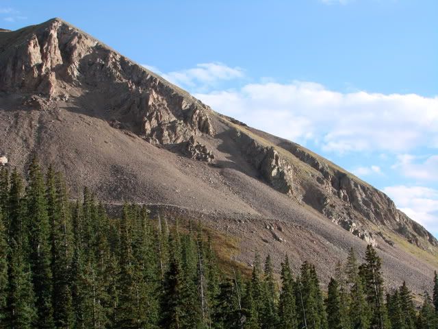
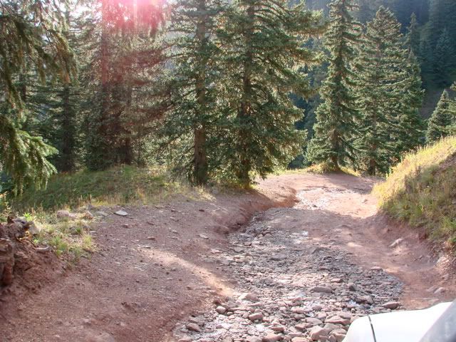
Here is one of the steep, narrow, loose, and rocky areas leading up to the basin.
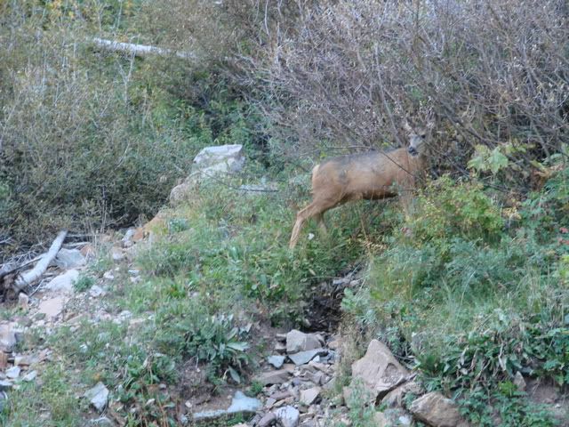
More wildlife spotting on the way down.
I believe that its a White-Tailed Deer.
I believe that its a White-Tailed Deer.
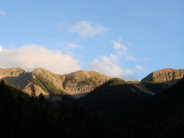
And finally the sun setting on my way back to Durango.
Overall a great day of exploration. A little more "exciting" than I was anticipating in regards to the driving but the Trailblazer ended up passing with flying colours. Next up is the relatively short drive up to Silverton tonight and some more pass driving tomorrow.
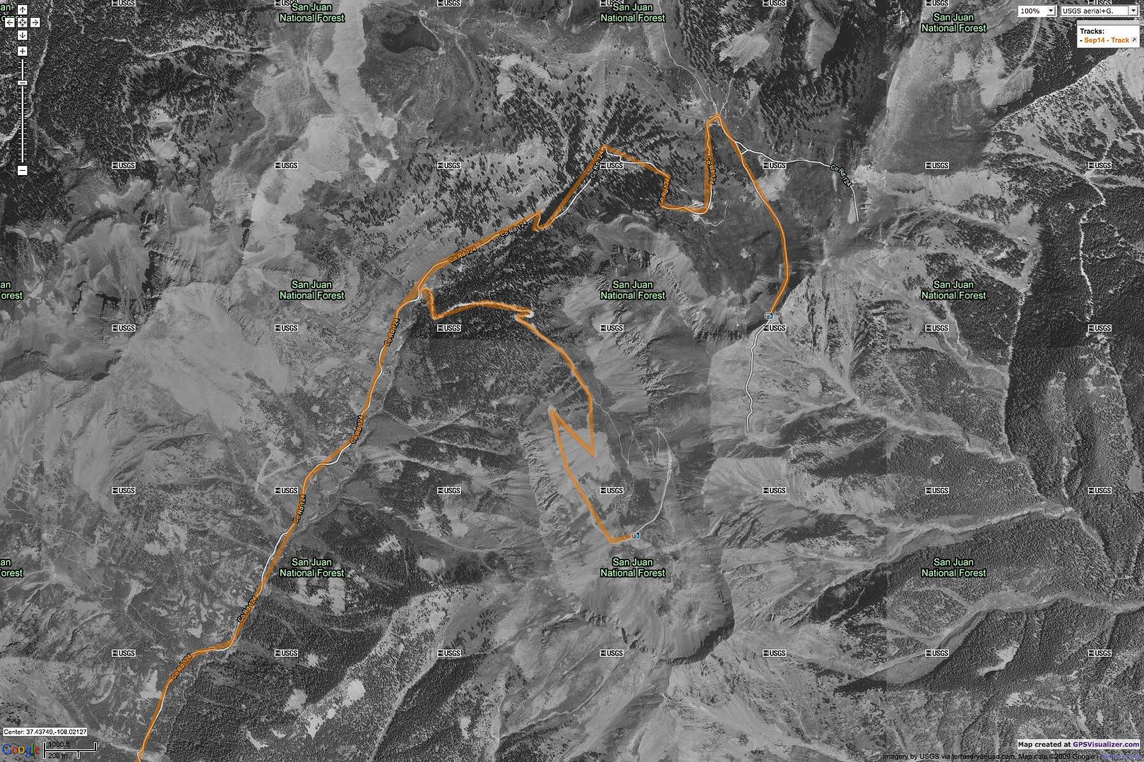
Map References - Day 6 - Sep 14
September 14 track:
Columbus Mine & Kennebec:
* large files - 1800 x 1200
View Sep 14 track in larger window.


No comments:
Post a Comment