Sunday morning I made the decision to not head south to Killarny Provincial Park as I had visited there a couple of years ago. As for the potential trails I scoped out on Google Maps just outside the park, they will have to wait until the Autumn.
So instead I decided to head back west where I came from and La Cloche Provincial Park. La Cloche is "the bell" in French and that is what the modest mountain range south-west of Sudbury is called.
I headed back along 17 (Trans Canada Highway) and south through Espanola looking for Fox Lake Rd. which my Garmin told me continued west towards the park.
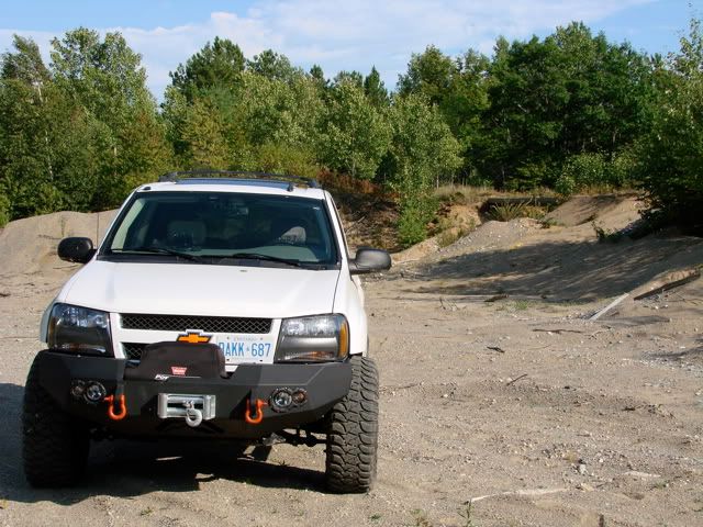
As a side note, I am using the great TrakMaps set of Ontario topographic vector maps at 1:10000 scale which are in the Garmin format. These maps provide extreme detail for offroad exploration.
So instead I decided to head back west where I came from and La Cloche Provincial Park. La Cloche is "the bell" in French and that is what the modest mountain range south-west of Sudbury is called.
I headed back along 17 (Trans Canada Highway) and south through Espanola looking for Fox Lake Rd. which my Garmin told me continued west towards the park.
As a side note, I am using the great TrakMaps set of Ontario topographic vector maps at 1:10000 scale which are in the Garmin format. These maps provide extreme detail for offroad exploration.
The road ended up being a well maintained snowmobile track but did not extend south enough to get a glimpse of the La Cloche Ridge. It mostly went through fairly thick forest. It opened up onto a lake at the end though which provided a view of the ridge in the distance.
Being extra-careful not to leave anything behind I drove along the beach back to the road and headed out of the park. The topo maps again pointed out an alternate way out so I decided to explore the trail.
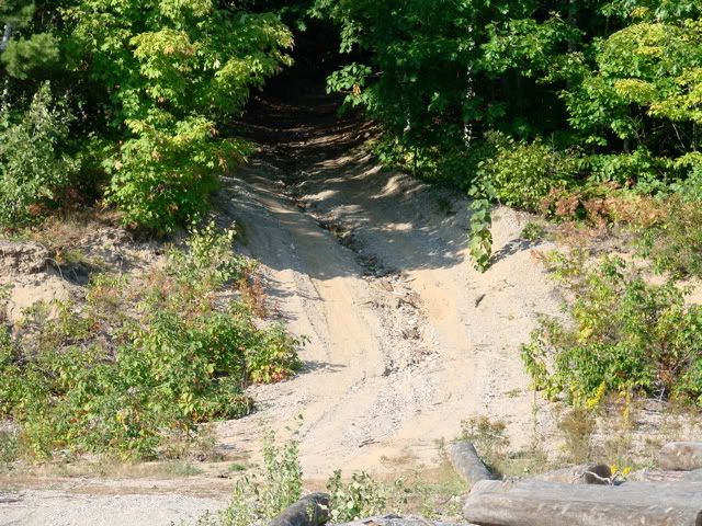
Halfway to what I anticipated was going to be the end of the trail on the main road, I entered an unexpected pit. The trail continued up this bank and into the forest. Unfortunately, at about the 3/4 mark where the trail crosses some power lines, 4 huge mounds of dirt were dumped completely blocking access. I guess someone doesn't want any traffic through there. Oh well, back the way I came.
Being extra-careful not to leave anything behind I drove along the beach back to the road and headed out of the park. The topo maps again pointed out an alternate way out so I decided to explore the trail.
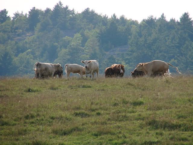
At least one cow seemed curious of the white vehicle passing by. Kind of reminds me a little of the cover of Pink Floyd's Atom Heart Mother.
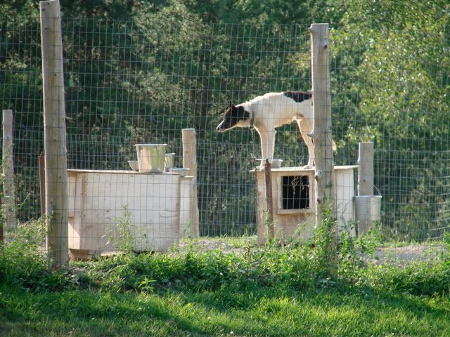
Standing on guard at the kennel.
Standing on guard at the kennel.
Once back on the Trans Canada, I prepared for the 3.5 hour drive through Sudbury and North Bay to my destination of Huntsville.
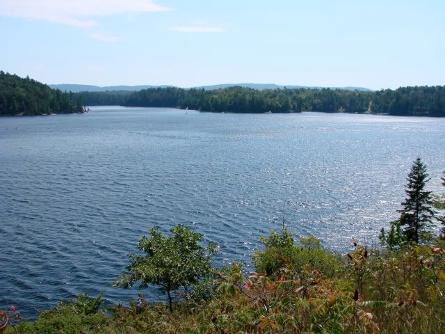
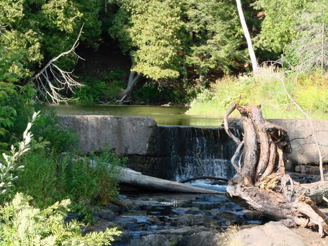
Ultimately I ended up on the south side of the Spanish River and right into the heart of the Anishnawbek Nation. One must carefully observe the speed limits here as the road continues directly through the most populated area. A left turn onto Ft. La Cloche road takes you into the park and to the mouth of a small river.
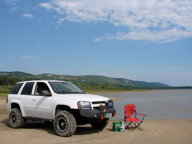
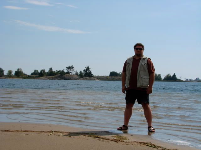
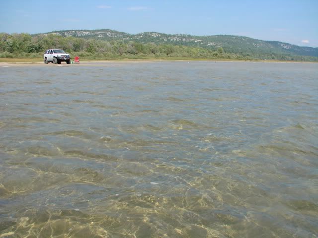
A little further south and the road opens up onto an awesome hard-packed sand beach. Driving west slowly along the beach, through some water crossings, this is where I decided to set up for an afternoon lunch.
Map References - Day 3 - Sep 2
View Sep 2 track in larger window.
September 2 track:
La Cloche Provincial Park:
* large files - 1800 x 1200


No comments:
Post a Comment