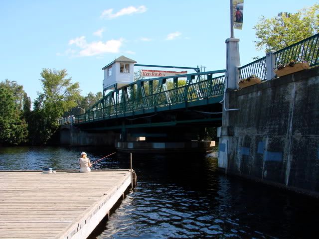
Huntsville is a great town right in the heart of Ontario's famous Muskoka cottage country. Today was very busy with vacationers taking advantage of the great weather this last summer long weekend.
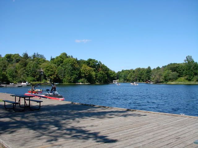
Looking over my maps I decided to drive east around Lake of Bays and head for the Leslie Frost Provincial Natural Resource Centre, an area I was not familiar with at all.
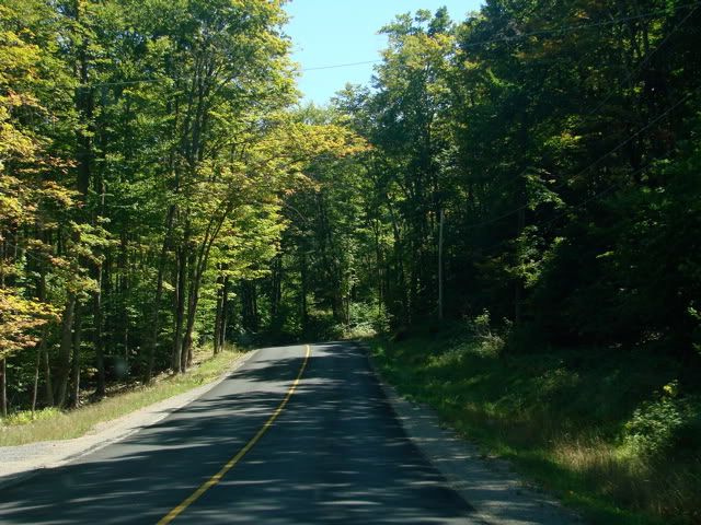
Some spirited driving through Muskoka reminded me why I like the area so much. I'm glad I upgraded my anti-sway bars and bushings.
Some spirited driving through Muskoka reminded me why I like the area so much. I'm glad I upgraded my anti-sway bars and bushings.
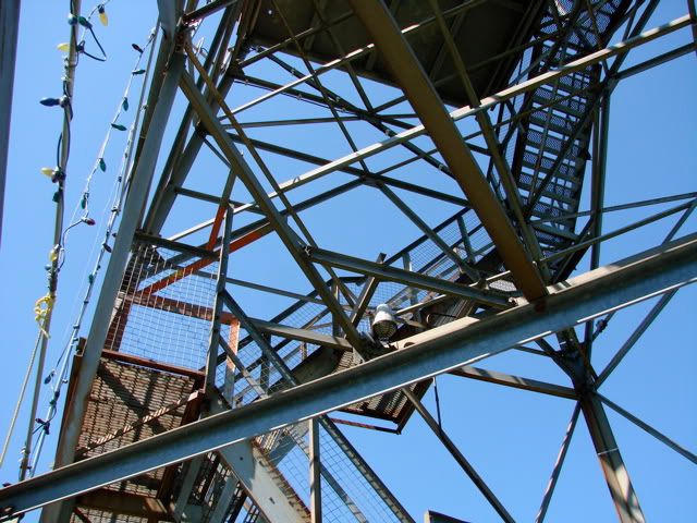
On the way to the park, I stopped off just outside of Dorset at the Scenic Lookout Tower. I had been in the area before but never checked it out.
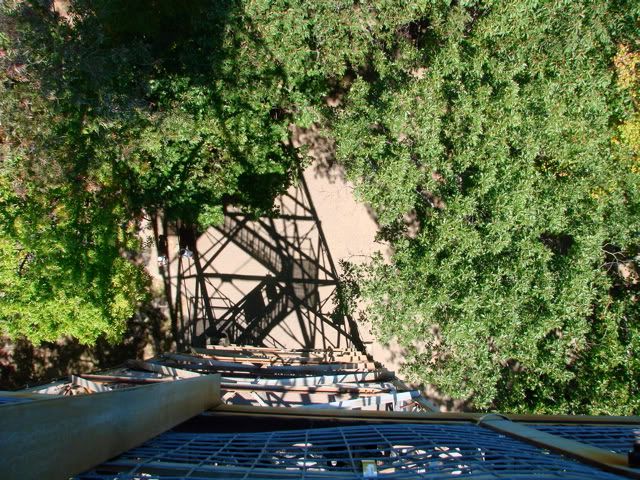
The Dorset Scenic Lookout Tower seems only slightly intimidating when you look at it from the ground. But when you start to climb, then pass the mid level deck where the stairway is actually outside the tower, and have to deal with ever skinnier stairs, it becomes a tad scary (for me in any case).
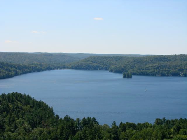
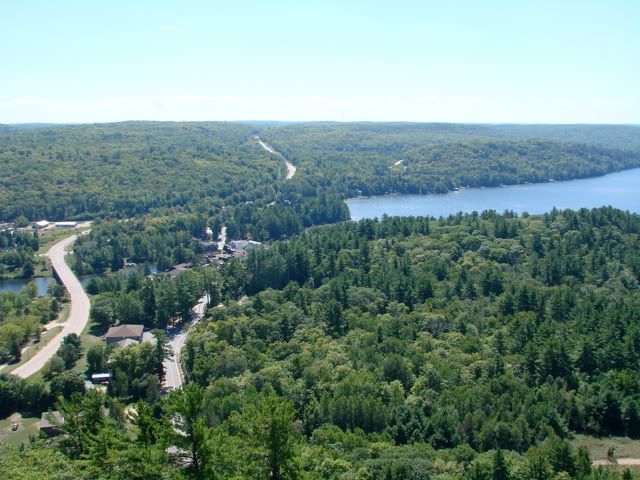
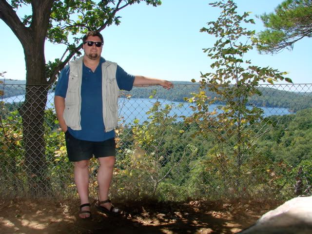
The views up there are spectacular though. You can see Dorset down below, and the entire Lake of Bays.
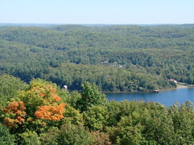
Looking east, is this the first sign of autumn I see?
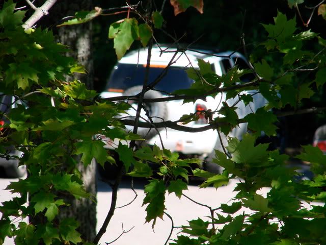
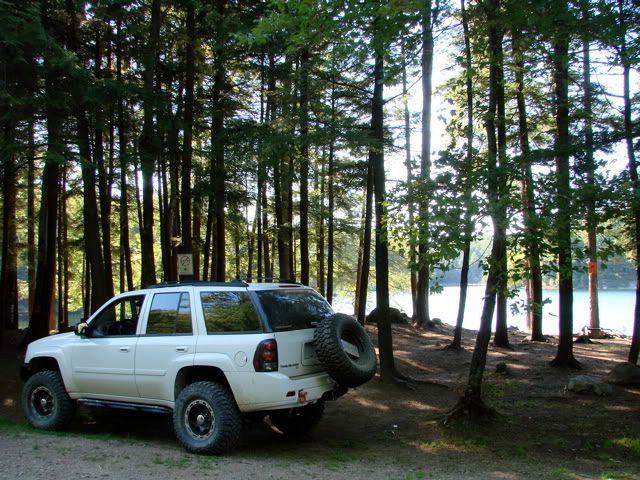
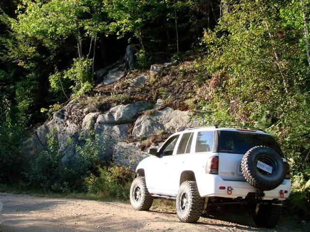
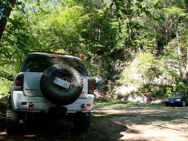
A glimpse of the Trailblazer through the trees.
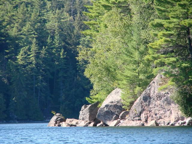
And finally at the edge of the rocks looking west over Lake of Bays.
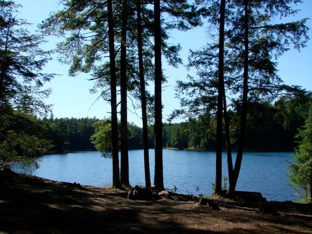
The Leslie Frost Provincial Natural Resource Centre (located on Crown Land) proved to be an amazing discovery for me. The main road in (Sherborne Road) which terminates at Sherborne Lake is a somewhat maintained gravel road. But with the terrain in the area, frequent washed-out sections, and a couple of sharp and modestly steep switch-backs right before the lake, it turned out to be a nice challenge for my slightly-more-than-stock vehicle.
The park map posted there provided more insight into the side trails I spotted on the way in. These non-maintained trails provide access to secluded back-country camp sites on several other lakes, definitely something I will be investigating further and with full camping gear.
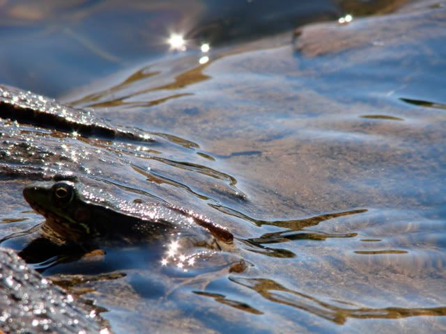
I hiked along the shoreline a little bit and set up a nice lunch for the afternoon. I was joined by frog or two.
On the way out of the park, I stopped at one of the nicer campsites I spotted on the way in.
After a great visit to the Frost Centre, I had some daylight left so I decided to investigate a lonely road I spotted on my map called Pine Springs Road. The plan was to follow it west until it crossed Old Wagon Road which would take me north, through Bigwind Lake Provincial Park and back to the main road to head home.
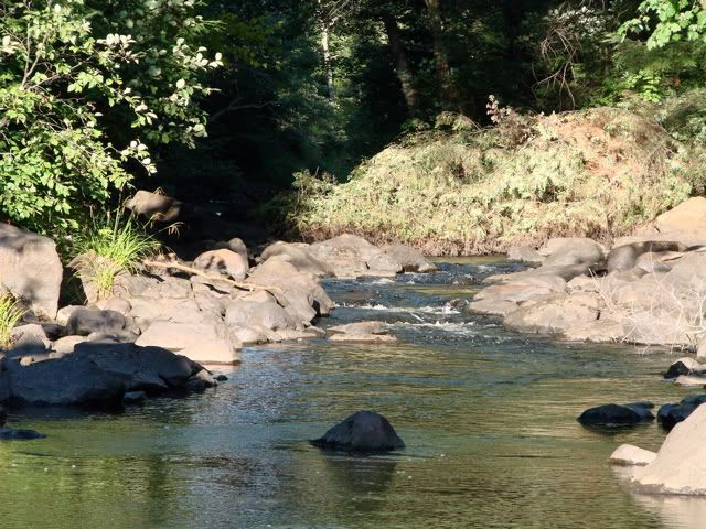
Pine Springs Road is a great drive and part of the snowmobile routes in the area. Its good it was late in the season as I could see many sections that would get extremely muddy and probably would not want to drive it alone under those conditions.
Pine Springs Road is a great drive and part of the snowmobile routes in the area. Its good it was late in the season as I could see many sections that would get extremely muddy and probably would not want to drive it alone under those conditions.
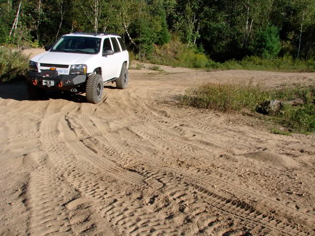
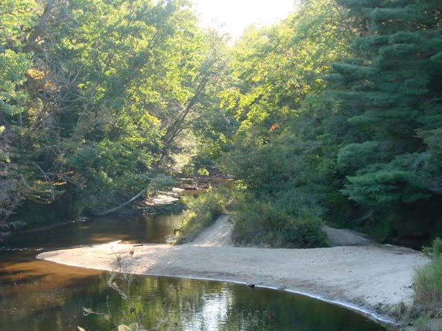
Another unexpected sand area. Lots of ATV tracks around.
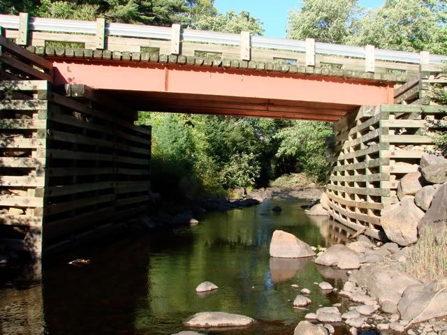
The road crosses the Black River which I know from an earlier exploration further south from here.
The day was getting late and the sun was setting so ultimately I did not head north on Old Wagon Road. Definitely a route to come back to.
And finally the trip home. I decided to stay off the main highways as traffic can be quite bad at the tail end of a long weekend.
Overall a great 4 day Expedition. The weather was outstanding, I found some interesting new places, can't wait to come back in the Autumn when the forests come alive with colour.
No time to waste though, my big expedition to Colorado starts this Friday.
Overall a great 4 day Expedition. The weather was outstanding, I found some interesting new places, can't wait to come back in the Autumn when the forests come alive with colour.
No time to waste though, my big expedition to Colorado starts this Friday.
Along the road are several primitive camp sites, some with pit toilets, none with running potable water. At the end of the road are more camp sites and access to Sherborne Lake.
Map References - Day 4 - Sep 3
View Sep 3 track in larger window.
September 3 track:
* large files - 1800 x 1200


No comments:
Post a Comment